1
/
of
1
Kroll Map Company
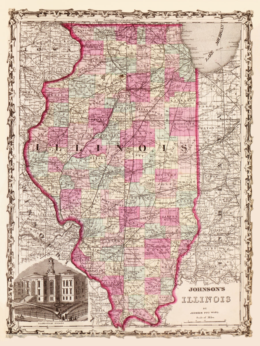
Illinois 1862 Antique Map Reproduction
Illinois 1862 Antique Map Reproduction
Regular price
$33.95 USD
Regular price
Sale price
$33.95 USD
Unit price
/
per
Couldn't load pickup availability
Share
This Antique Reproduction Map of Illinois is from A. J. Johnson's 1862 family atlas. Offers color coding according to county and notations for railways, roadways, cities, towns, and river systems. An inset in the lower left corner details the Chicago courthouse.
Alvin Jewett Johnson was a prolific American mapmaker best known for Johnson’s New Illustrated Family Atlas, published from 1860 to 1887. Originally reissuing Colton plates, Johnson lowered costs with lithographic printing. His vividly colored maps, especially of the American West, are now prized for their detail, style, and historical significance.
Size: 21" x 27"
SKU: SKU:KROLCIL1862
View full details