Kroll Map Company
Georgia 1882 Antique Map Reproduction
Georgia 1882 Antique Map Reproduction
Couldn't load pickup availability
Share
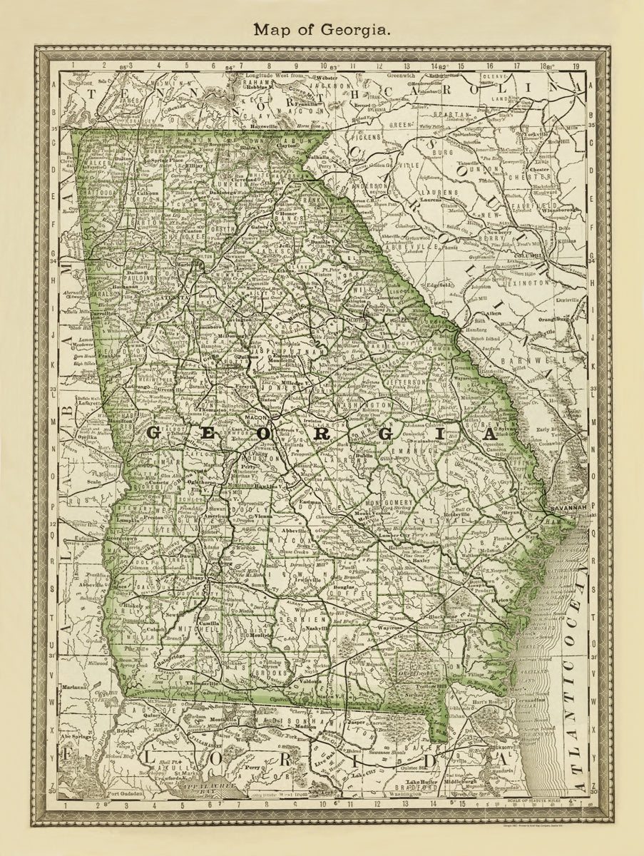
This Antique Map Reproduction of Georgia in 1882 comes from the H.H. Hardesty Historical and Geographic Encylocpedia. This is one of several we offer in this series.
Hardesty’s Historical and Geographical Encyclopedia was a massive late 19th-century reference work filled with state histories, biographies, statistical data, and detailed maps. Published in various editions throughout the 1880s, it included large copperplate maps of each U.S. state, including Georgia.
Hardesty also issued special regional and county editions in very limited runs, making surviving maps rare and historically significant.
Only about 10,000 main editions were printed, with some regional editions limited to just 250 copies each.
Size: 27" x 36"
SKU: SKU:KROLCGA1882
View full details