International Travel Maps
Angola Travel & Reference Map by ITMB
Angola Travel & Reference Map by ITMB
Couldn't load pickup availability
Share
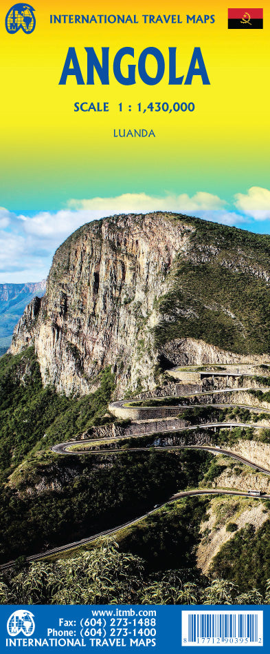
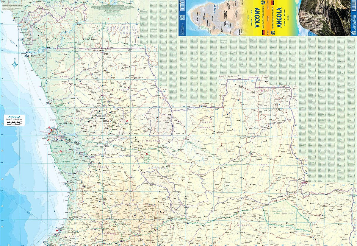
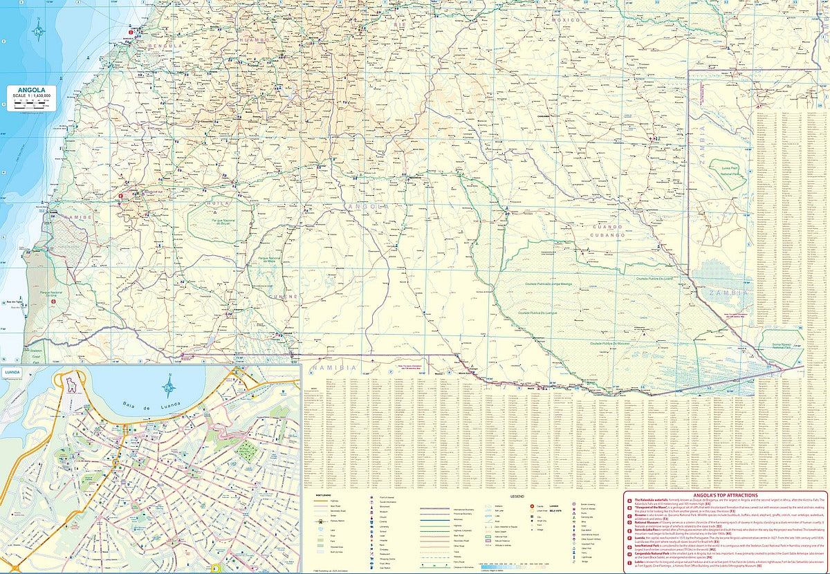
Discover the wild heart of southwestern Africa with ITMB’s double-sided Angola Travel & Reference Map (scale 1:1,430,000). Folded for convenience and packed with up-to-date details, this map is your perfect guide through a country quickly becoming one of Africa’s most exciting destinations.
Explore the colonial charm of Luanda with a detailed city inset, venture to the breathtaking Kalandula Falls—the second highest in Africa—or lose yourself in the biodiversity of Kissama National Park. For those drawn to the coast, the pristine sands of Benguela beckon, now more accessible thanks to a gradually improving road network.
Whether you’re heading to a modern beach resort or exploring remote inland landscapes, this map offers clear classifications of roads, rivers, parks, and more. A Top Attractions list and intuitive legend make planning easy, even in a land where the spirit of adventure still rules. Embrace the unexpected and start your Angolan journey with confidence.
SKU: SKU:ITMANG
View full details