Tom Harrison Maps
Angeles High Country Hiking Map by Tom Harrison
Angeles High Country Hiking Map by Tom Harrison
Couldn't load pickup availability
Share
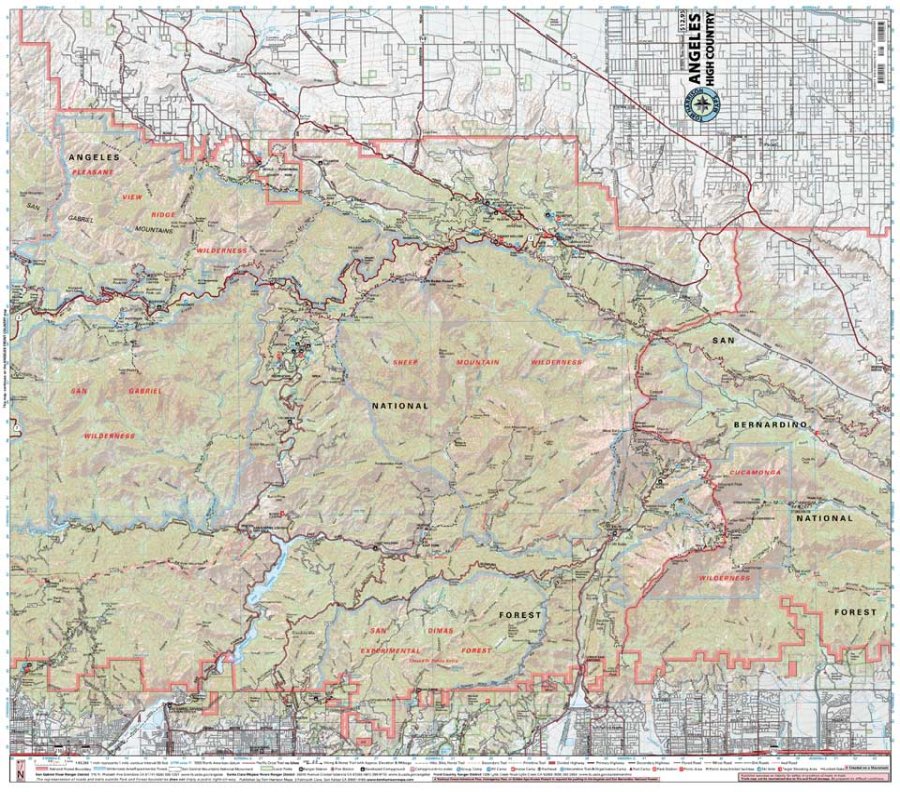
Head for the high country and discover some of Southern California’s best mountain hiking with the Angeles High Country Hiking Map by Tom Harrison. Covering the upper Angeles National Forest and San Gabriel Mountains, this detailed trail map is built for hikers, backpackers, and anyone ready to trade city views for alpine adventure.
Explore classic routes including the Pacific Crest Trail and the North Backbone Trail, with terrain ranging from forested canyons to rugged ridgelines and peaks topping 10,000 feet. The map features shaded relief, clear trail routes, elevation information, and 80-foot contour intervals at a useful 1:63,360 scale (1 inch = 1 mile).
Keep an eye out for Coulter pine, Jeffrey pine, bigcone Douglas-fir, and oak woodlands, while wildlife includes Nelson’s bighorn sheep and the mountain yellow-legged frog. Waterproof and tear-resistant, this Angeles High Country Hiking Map is a dependable companion for your next San Gabriel Mountains adventure.
SKU: SKU:HARANGELES
View full details