NOAA
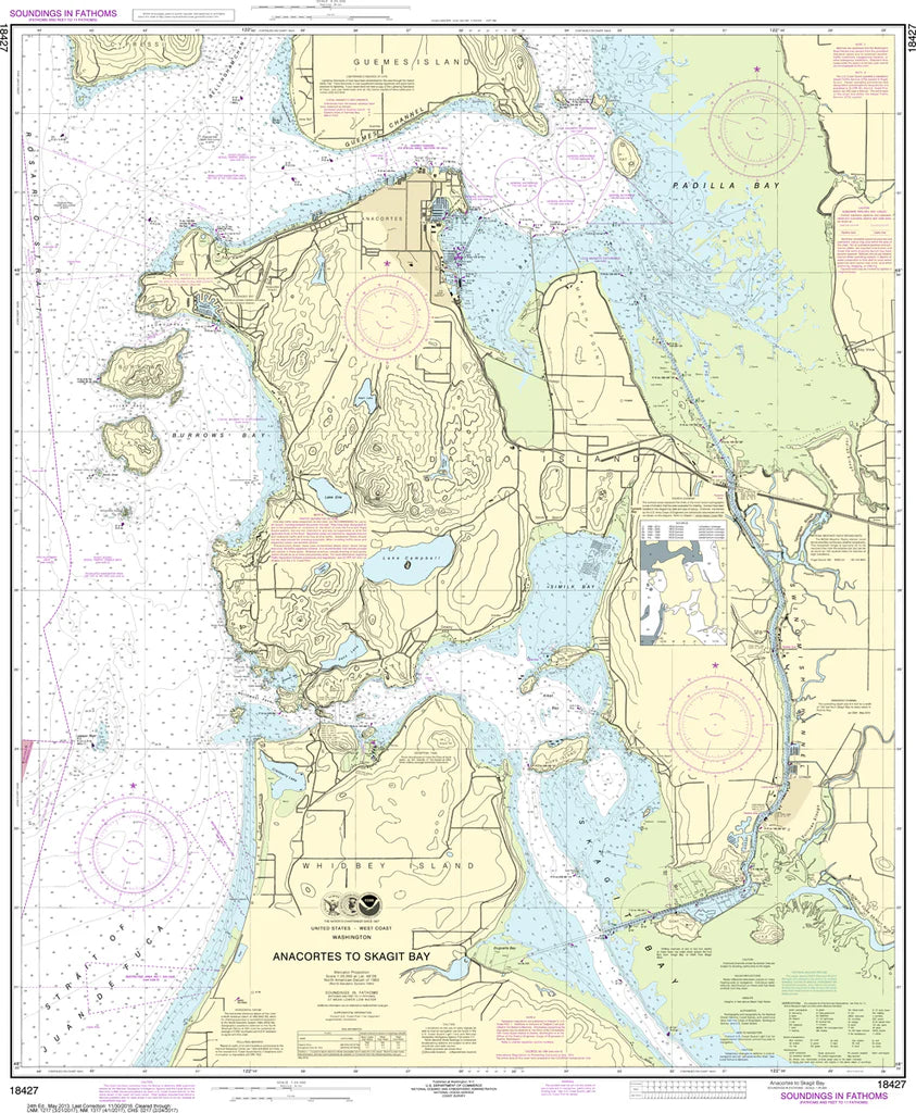
Anacortes to Skagit Bay Nautical Chart #18427
Anacortes to Skagit Bay Nautical Chart #18427
Couldn't load pickup availability
Share
Chart a course through one of Washington's most scenic boating destinations with the Anacortes to Skagit Bay Nautical Chart #18427! Whether you're a sailor, cruiser, angler, paddler, or coastal map collector, this beautifully detailed chart is the perfect way to explore the heart of the Pacific Northwest.
Covering the waterways between Anacortes and Skagit Bay, this chart highlights bustling Anacortes Harbor, Guemes Channel, Padilla Bay, Swinomish Channel, Hope Island, and the winding shoreline leading toward Skagit Bay. Rich with navigational detail, it's a fascinating reference for anyone who loves the Salish Sea. The region is steeped in maritime history, with the nearby Swinomish Channel—completed in 1937—creating a vital shortcut for commercial and recreational vessels traveling between Skagit Bay and Padilla Bay. Measuring 35" x 42" at a detailed 1:25,000 scale, this chart looks fantastic framed in a home, office, cabin, or aboard your boat.
(View more detail in nautical chart viewer)
Please note: For decorative and reference purposes only, NOAA has officially sunset traditional paper nautical charts. These legacy charts are no longer updated or approved for primary navigation.
SKU: SKU:NOS18427
View full details