Freytag & Berndt
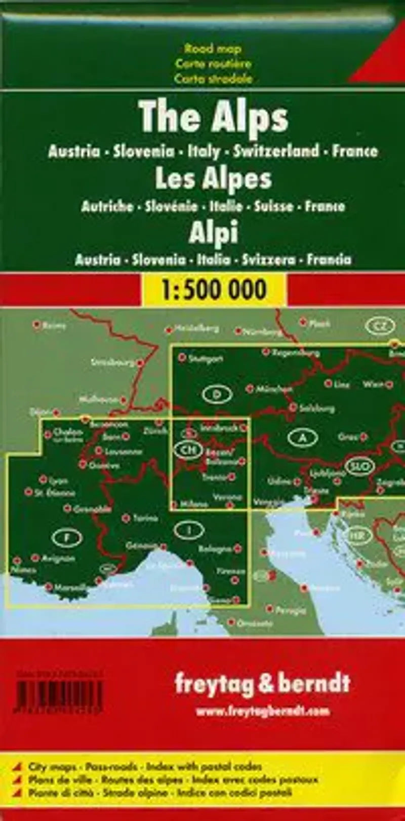
Alps, The (Alpine Countries) Road Map by Freytag & Berndt
Alps, The (Alpine Countries) Road Map by Freytag & Berndt
Couldn't load pickup availability
Share
Explore the majesty of the Alps with Freytag & Berndt’s Alpine Countries Road Map at 1:500,000 scale—your key to unforgettable road trips through Europe’s most iconic mountain landscapes.
Discover highlights like the breathtaking Grossglockner High Alpine Road in Austria, the serene beauty of Lake Geneva straddling France and Switzerland, and the dramatic Dolomites in northern Italy. This easy-to-use map features a comprehensive index of cities, detailed road networks with distances and route numbers, plus railways, airports, and ferry connections to keep your travels seamless.
Historical buffs will appreciate that Hannibal is believed to have crossed these mountains with elephants over 2,000 years ago, and many of the region’s medieval castles still stand proudly today. Points of interest including spas, museums, churches, and campgrounds are clearly marked, making it ideal for planning scenic drives or campervan adventures across six Alpine nations. Let this map be your trusted companion through Europe's legendary highlands.
SKU: SKU:MAPFBALPS
View full details


