1
/
of
2
Alpine Wilderness Protection Society
Alpine Lakes Wilderness Map
Alpine Lakes Wilderness Map
Regular price
$18.95 USD
Regular price
Sale price
$18.95 USD
Unit price
/
per
Couldn't load pickup availability
Share
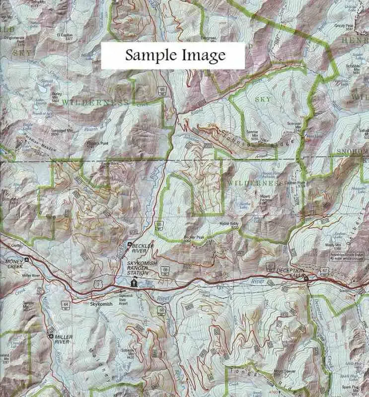
Detailed hiking and recreation map of the entire Alpine Lakes Wilderness made by the Alpine Wilderness Protection Society.
Coverage includes from Leavenworth to North Bend, from US route 2 to I-90. This map provides a great way to get the "big picture" of this big playground!
Details include contour lines, shaded relief, mountain names with heights, trails, ranger stations, campgrounds, picnic sites, snowparks and roads. On the reverse side is invaluable information about the area, including history, climate, geology and photos.
- Scale = 1:100,000
- Contour interval = 200 feet
- Measures 32" x 38" when unfolded
- Folded map printed on waterproof material
SKU: SKU:APSALWR
View full details