National Geographic
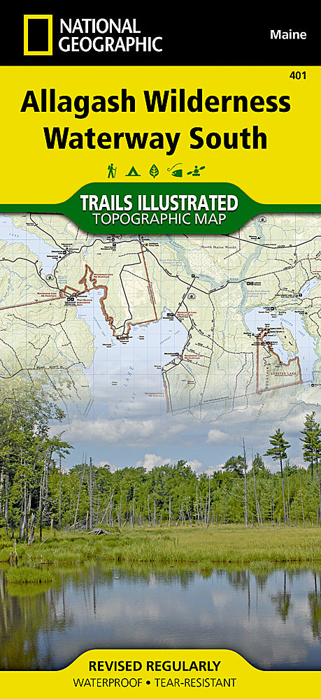
Allagash Wilderness Waterway South Trails Illustrated Map #401
Allagash Wilderness Waterway South Trails Illustrated Map #401
Couldn't load pickup availability
Share
Explore the rugged beauty of northern Maine with the Allagash Wilderness Waterway South Trails Illustrated Map #401 by National Geographic. This waterproof, tear-resistant topographic map is your perfect companion for paddling, hiking, and backcountry adventure.
Discover the serene waters of Eagle Lake, the historic portage route of the Allagash Carry, and the legendary Churchill Dam—where water still flows through a hand-operated sluiceway, a nod to Maine’s 19th-century logging past. The Allagash Wilderness Waterway, established in 1966, preserves one of the last free-flowing stretches of wilderness river in the eastern United States.
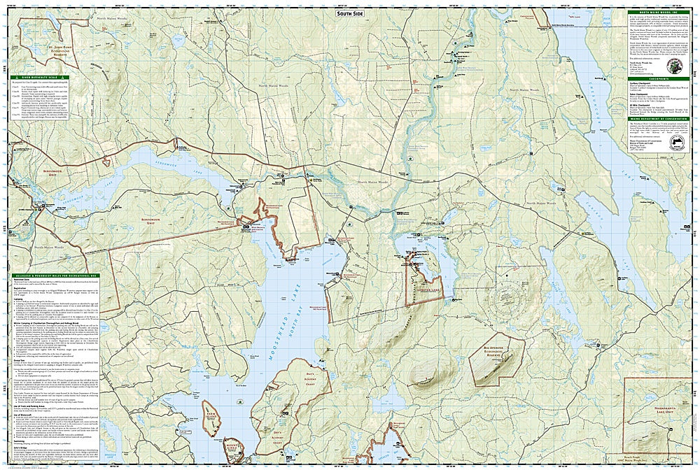
Ideal for canoeists and outdoor explorers, this map features a full UTM grid for easy GPS navigation and includes updated trails, campsites, and natural features. Whether you're planning a multi-day paddle trip or seeking solitude among boreal forests and moose-filled wetlands, this map will guide you through one of New England’s most iconic wild places.
- 1" = 1 mile / 1 cm = .6 kilometers
- Contour Interval 50 Feet
- Waterproof
SKU: SKU:TRA401
View full details


