National Geographic
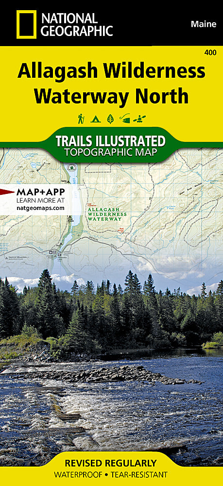
Allagash Wilderness Waterway North Trails Illustrated Map #400
Allagash Wilderness Waterway North Trails Illustrated Map #400
Couldn't load pickup availability
Share
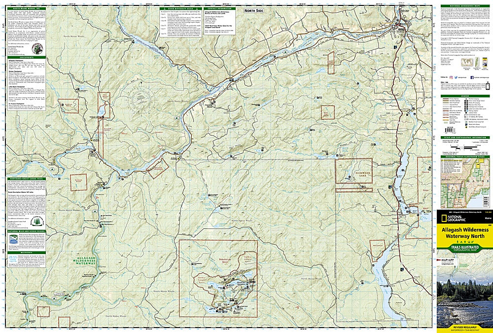
Explore the untamed beauty of northern Maine with National Geographic's Allagash Wilderness Waterway North Trails Illustrated Map #400. Covering the legendary 92-mile Allagash Wilderness Waterway, this waterproof, tear-resistant topographic map is your trusted companion for paddling, camping, hiking, or simply getting lost (on purpose) in nature. Discover outdoor gems like Saint Froid Lake, Umsaskis Lake, Round Pond, and the remote Musquacook lakes. Highlights also include Fort Kent State, the Fish and Allagash Rivers, and the pristine Debouille Ecological Reserve.
Ideal for navigating the Northern Forest Canoe Trail or exploring the North Maine Woods, this map features shaded relief, elevation data, and a full UTM grid for precise GPS use. Recreation symbols make it easy to locate campsites, boat launches, trailheads, and more. Whether you’re paddling a quiet cove or following the Maine Scenic Byway, this map blends rugged detail with practical information for an unforgettable wilderness adventure.
- 1" = 1 mile / 1 cm = .6 kilometers
- Contour Interval 50 Feet
- Waterproof
SKU: SKU:TRA400
View full details