International Travel Maps
Alaska Travel & Reference Map by ITMB
Alaska Travel & Reference Map by ITMB
Couldn't load pickup availability
Share
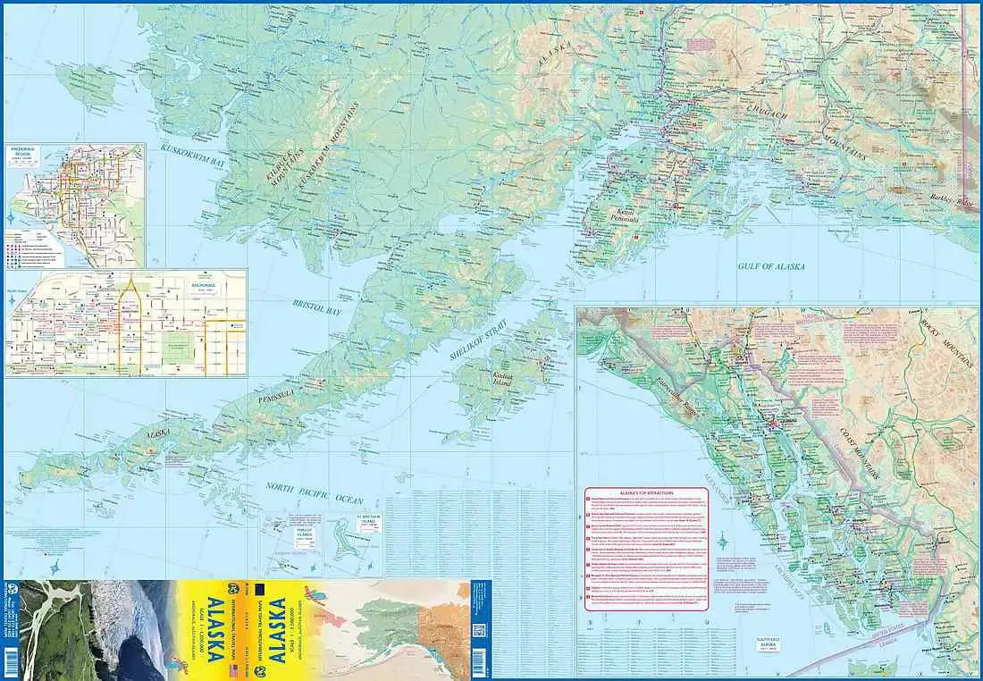
Plan your next great Alaska adventure with the Alaska Travel & Reference Map by ITMB! This double-sided, 27" x 39" map is a must-have for road trippers, cruise travelers, and anyone dreaming of America’s Last Frontier. At a useful 1:1,500,000 scale, it provides a big-picture view for navigating Alaska’s vast landscapes, highways, national parks, rivers, lakes, airports, and points of interest.
From the spectacular wilderness of Denali National Park to the icy wonders of Glacier Bay and the rugged beauty of Kenai Fjords National Park, Alaska delivers scenery at a truly epic scale. Cruise travelers can watch for the retreating glaciers of Glacier Bay, where changing ice has even revealed land near the Canada-Alaska boundary.
Alaska became the 49th U.S. state in 1959, after decades as an American territory following its purchase from Russia in 1867. Today, its combination of wild landscapes, fascinating history, and unforgettable wildlife makes it a bucket-list destination. Whether planning a cruise, road trip, or summer escape, this detailed Alaska map helps put the adventure in perspective.
SKU: SKU:ITMAK
View full details