DeLorme
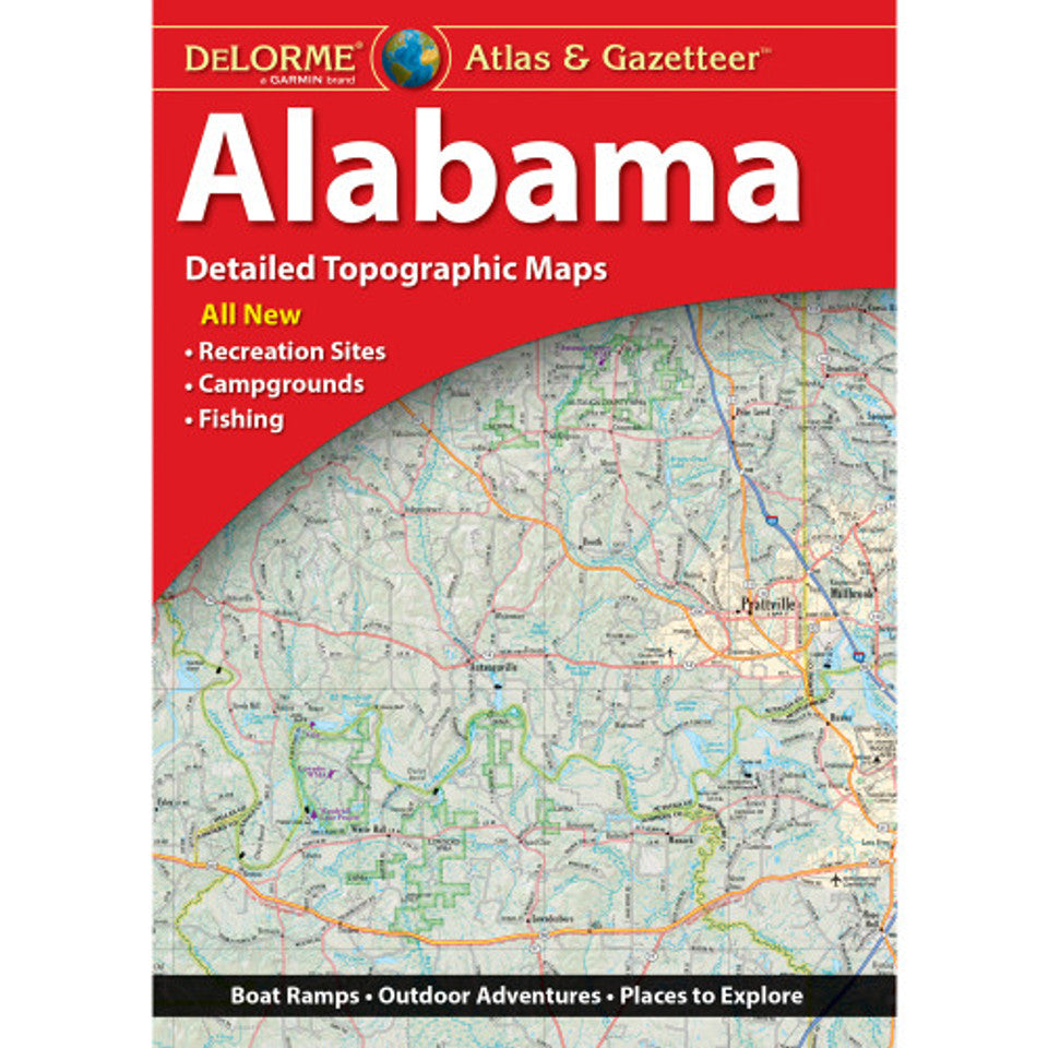
Alabama Topographic Atlas & Gazetteer by DeLorme
Alabama Topographic Atlas & Gazetteer by DeLorme
Couldn't load pickup availability
Share
Skip the scrolling. Find the adventure! The DeLorme Alabama Topographic Atlas & Gazetteer puts Alabama’s wild side right at your fingertips—no signal, no batteries, no problem.
From winding backroads to hidden trailheads, this full-color topographic atlas helps you discover the Heart of Dixie beyond the usual tourist stops. Explore the natural beauty of Cheaha State Park, home to Alabama’s highest point, and head for Gulf State Park, one of the state’s premier outdoor playgrounds for hiking, biking, and coastal exploration. For even more adventure, discover the waterfalls, forested trails, and rugged scenery of Little River Canyon National Preserve. With Alabama’s rich landscapes stretching from Appalachian foothills to Gulf Coast shores, there’s always another trail or scenic detour to find.
Unlike online maps that depend on batteries and cell service or folded maps that can be awkward to handle, this convenient book-format atlas keeps detailed topographic maps at your fingertips. Extensive indexing, latitude/longitude grids for GPS navigation, and inset maps of major cities and state lands make planning your next outing a breeze. Find historic sites, scenic drives, boat ramps, fishing spots, recreation areas, and more!
Product Details:
- Full-color topographic maps
- Extensively indexed
- GPS-friendly latitude/longitude grids
- Dimensions: 15.5" x 11"
SKU: SKU:DELAL
View full details