Rand McNally
Alabama State Highway Folded Map by Rand McNally - Easy to Read
Alabama State Highway Folded Map by Rand McNally - Easy to Read
Couldn't load pickup availability
Share
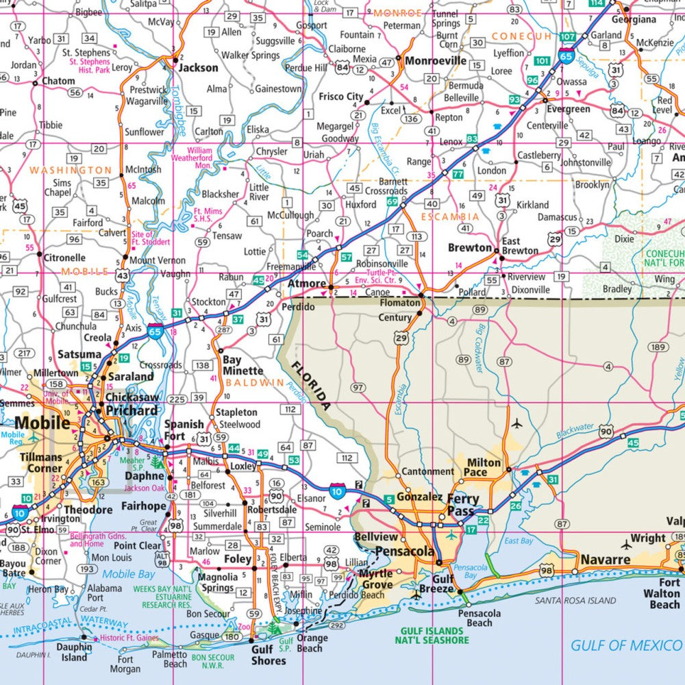
Hit the open road through the Heart of Dixie with Rand McNally’s Easy to Read Alabama State Highway Folded Map—your old-school travel companion that never loses signal! Whether you’re cruising I-65 or winding your way through backroads to discover hidden gems, this full-color, up-to-date map helps you plan every mile with confidence. Forget zooming and buffering—get the big picture fast with large, easy-to-read type and clearly marked highways, parks, airports, and points of interest.
See Alabama beyond the usual stops—like the hauntingly beautiful Dismals Canyon near Phil Campbell, where bioluminescent glow worms light up the night! With a detailed index and mileage chart, this foldable favorite makes trip planning simple and navigation stress-free. Reliable, accurate, and built to last, Rand McNally’s trusted cartography keeps your adventure rolling—because every great road trip deserves a map you can actually unfold.
SKU: SKU:RMCUSAL
View full details