National Geographic
Africa Folded Reference Map with Flags & Facts by National Geographic
Africa Folded Reference Map with Flags & Facts by National Geographic
Couldn't load pickup availability
Share
Ready to explore a continent of epic landscapes, vibrant cultures, and unforgettable history? The Africa Folded Reference Map with Flags & Facts by National Geographic is your all-in-one travel companion and geography guide.
Expertly researched and beautifully designed, this authoritative reference map showcases the full sweep of Africa — from the vast Sahara to the lush Congo Basin and the dramatic Great Rift Valley. The political map clearly defines countries, capital cities, and major urban centers, while the detailed physical map highlights mountain ranges, rivers, plains, and lakes in stunning clarity. Hundreds of carefully placed place names remain legible even in densely populated regions, making it perfect for classrooms, offices, and travel planning.
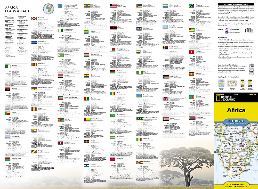
Beyond borders and topography, this map features national flags and fascinating facts that bring each country’s culture and physical geography to life. It even includes adjacent regions of Europe and Asia for broader geographic context.
Printed in the U.S.A. on durable synthetic paper, this waterproof and tear-resistant map is built for real-world adventure. Whether you’re planning a safari, teaching world geography, or dreaming of distant horizons, this Africa reference map delivers knowledge that travels with you.
SKU: SKU:TRA1296
View full details