International Travel Maps
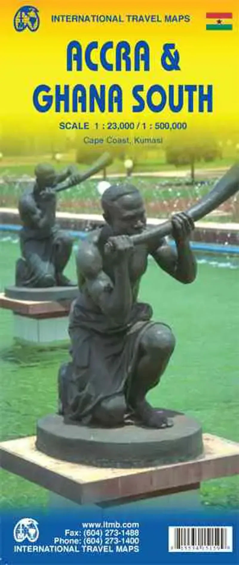
Accra & Ghana South Travel Map
Accra & Ghana South Travel Map
Couldn't load pickup availability
Share
Fun Fact: Ghana was the first African colony to become an independent nation in 1957.
People necessarily don't hear about Ghana on the news much, but that's because there is not much bad news to report! Accra is one of the oldest cities in Sub-SAharan Africa and as a result the coast of Ghana is littered with historical remnants of tradings ports from the age of expansion.
This two-sided Street Map of Accra published ITM is at a scale of 1:23,000 with easy to read detail including points of interest.
The reverse side is a Road Map of Southern Ghana at a scale of 1:500,000. Features include roads, national parks, historical and tourist information and shaded relief.
Covers from the coast north to Sunyani including Lake Volta and Kumasi.
SKU: SKU:ITMACCRA
View full details


