National Geographic
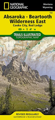
Absaroka - Beartooth Wilderness East Trails Illustrated Map #722
Absaroka - Beartooth Wilderness East Trails Illustrated Map #722
Couldn't load pickup availability
Share
Explore one of Montana’s wildest corners with the Absaroka - Beartooth Wilderness East Trails Illustrated Map #722 by National Geographic. This waterproof, tear-resistant topographic map guides adventurers through a rugged expanse of alpine lakes, towering peaks, and untamed forest.
Discover top attractions like Mystic Lake, a shimmering jewel perfect for fishing and camping; Granite Peak, Montana’s highest point and a thrilling challenge for experienced climbers; and the stunning Fossil Lake Basin, rich in geologic history. The Absaroka-Beartooth Wilderness, established in 1978, preserves part of the ancestral lands of the Crow and Shoshone peoples and protects over 900,000 acres of dramatic terrain. A full UTM grid ensures easy GPS navigation for hikers, backpackers, and horseback riders alike.
Whether you're following remote trails or soaking in panoramic views from the Beartooth Plateau, this detailed map is your key to unforgettable high-country adventures in one of America’s most scenic and historic wilderness areas.
- 1" = 1.1 miles / 1 cm = .7 kilometers
- Contour Interval 50 Feet
- Waterproof
SKU: SKU:TRA722
View full details


