East View Map Link
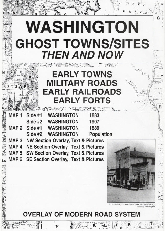
Washington State Ghost Towns / Sites Then and Now Map
Washington State Ghost Towns / Sites Then and Now Map
Couldn't load pickup availability
Share
Discover Washington’s forgotten towns, vanished settlements, and fascinating frontier history with the Washington State Ghost Towns / Sites Then and Now Map! Travel back in time and uncover the places that helped shape the Evergreen State.
Featuring authentic historical maps from 1883, 1889, and 1907, this unique historical map series combines archival cartography with modern Washington road maps to help you locate ghost towns and explore how the landscape has changed over more than a century. Transparent overlays connect the past with the present, revealing historic place names and settlements that may have moved, changed names, or disappeared entirely.
Each 22" x 17" map includes historical photographs and intriguing stories about forgotten communities, early post offices, stage stations, and frontier settlements. Discover fascinating tales like Waterville, once known as Okanagan City and Jumpers Flat, before becoming the town we know today.
Perfect for history buffs, genealogy enthusiasts, map collectors, and Pacific Northwest explorers, this Washington ghost towns map brings the state’s hidden history to life.
SKU: SKU:MAPNWDWAGHOST
View full details