National Forest Service
Wallowa-Whitman NF - Hells Canyon Nat Rec Area & Wilderness USFS Map
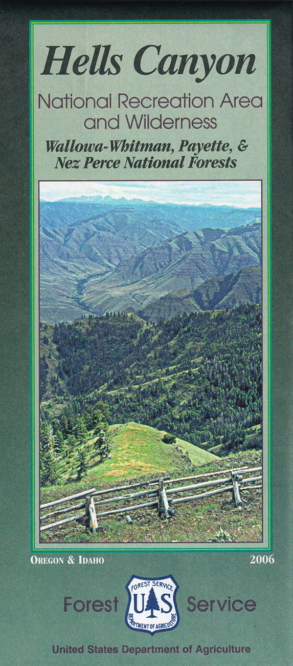
Wallowa-Whitman NF - Hells Canyon Nat Rec Area & Wilderness USFS Map
Couldn't load pickup availability
Share
Explore the rugged beauty of Hells Canyon National Recreation Area & Wilderness with this detailed U.S. Forest Service Map. Nestled along the Idaho-Oregon border, Hells Canyon is North America’s deepest river gorge, spanning over 650,000 acres. Highlights include the Snake River, Seven Devils Mountains, and Hat Point Lookout.
The map’s clear contrast between the "roaded" National Forest areas versus the remote, roadless wilderness areas invites river rafters, fishermen, hunters, and excursion boaters to plan unforgettable adventures. Spot Rocky Mountain bighorn sheep, black bears, and vibrant wildflowers among the canyon’s basalt cliffs and Ponderosa pines. Rich with Nez Perce history and early mining tales, this landscape beckons explorers.
Features include recreation site facilities, latitude/longitude coordinates, and township-range info—perfect for trip planning. A must-have for outdoor enthusiasts headed to northeastern Oregon’s untamed frontier!