International Travel Maps
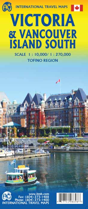
Victoria & Vancouver Island South Travel & Reference Map by ITMB
Victoria & Vancouver Island South Travel & Reference Map by ITMB
Couldn't load pickup availability
Share
Discover the beauty, history, and adventure of Canada’s spectacular southern Vancouver Island with the Victoria & Vancouver Island South Travel & Reference Map by ITMB. Double-sided and packed with useful details, this 27" x 39" map combines a detailed Victoria city map at 1:10,000 with a regional map at 1:270,000—perfect for sightseeing, road trips, and day-trip planning.
Explore iconic attractions including the grand Empress Hotel, the stunning Butchart Gardens, and towering Cathedral Grove, home to an incredible collection of old-growth fir trees. The map also covers Tofino, Nanaimo, Duncan, Chemainus, the West Coast Trail, Broken Islands, national parks, ferry routes, airports, highways, lakes, rivers, and countless points of interest.
Victoria, British Columbia’s capital, has a fascinating colonial past dating to the mid-1800s. Established as a British colonial capital following the 1846 Oregon Treaty, Victoria grew rapidly during the Victorian era, helping create the charming architecture and historic atmosphere visitors love today. Whether exploring city streets or planning a Vancouver Island adventure, this versatile travel map is an essential companion.
SKU: SKU:ITMVICTORIA
View full details