Freytag & Berndt
Tyrol (Tirol), Austria Road Map - Freytag & Berndt
Tyrol (Tirol), Austria Road Map - Freytag & Berndt
Couldn't load pickup availability
Share
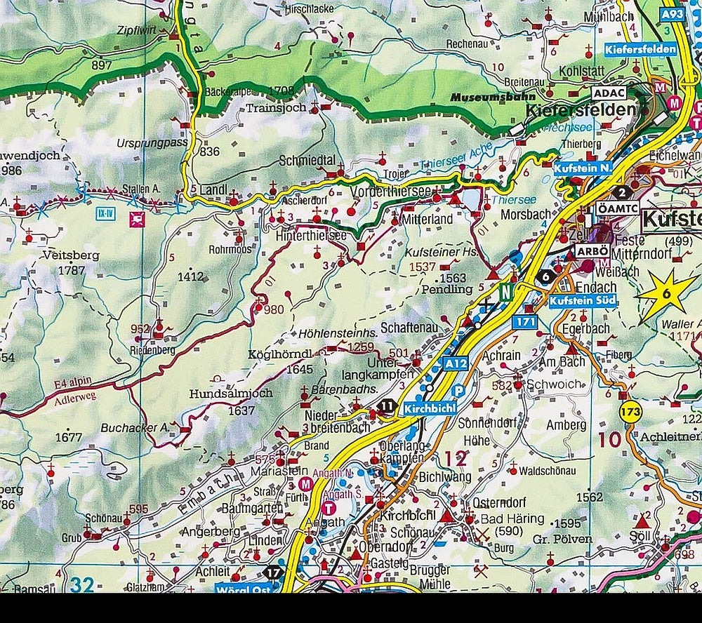
Embark on your next alpine adventure with the Freytag & Berndt folded Road & Reference Map of Tyrol, Austria, your gateway to winding mountain passes and charming villages. At a handy scale of 1:150,000, this map brings the rugged beauty of Tyrol into sharp focus.
From the snow-dusted majesty of the Ötztal Alps to the vibrant cultural buzz of Innsbruck, and the soaring silhouette of the Zugspitze, Germany’s highest peak straddling the border, you’re set for awe at every turn. It’s not just a map—it’s your tour guide, complete with city plans for Schwaz, Landeck, Telfs and more, plus a handy index and a mini notebook highlighting 10 unforgettable Tyrolean sights.
With multilingual legends in English, German, French, and Italian, it’s a trusted companion whether you're road-tripping or trail-blazing. Compact, colorful, and packed with inspiration.