National Geographic
Titanic Historical Reference Map from National Geographic Archives
Titanic Historical Reference Map from National Geographic Archives
Couldn't load pickup availability
Share
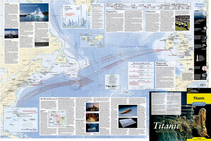
History meets high-seas drama on the Titanic Historical Reference Map from National Geographic Archives—a fascinating reference map packed with stories, statistics, and unforgettable details from one of the world’s most famous voyages.
Reproduced from National Geographic’s 2012 “Titanic” infographic, created for the 100th anniversary of the sinking, this double-sided, full-color reference map brings the R.M.S. Titanic’s story vividly to life. Trace the ship’s route and the fateful iceberg’s journey, explore pre- and post-disaster shipping lanes, and follow the rescue ships that raced to the scene. Detailed deck plans, a cutaway view, passenger profiles, ship-size comparisons, deep-ocean search diagrams, and charts from post-disaster hearings reveal fascinating layers of the story. There’s even a look at Titanic in art and culture and plans for the wreck’s future.
Printed on durable synthetic paper, this Titanic Historical Reference Map is waterproof and tear-resistant, built for repeated folding and unfolding. A conversation piece for classrooms, offices, desks, and history-loving walls. Whether you’re a history buff, map collector, educator, or Titanic enthusiast, this Titanic Historical Reference Map makes exploration irresistibly easy.
SKU: SKU:NGSHISTITANIC
View full details