1
/
of
1
National Geographic
The Holy Lands Wall Map by National Geographic
The Holy Lands Wall Map by National Geographic
Regular price
$19.95 USD
Regular price
Sale price
$19.95 USD
Unit price
/
per
Couldn't load pickup availability
Share
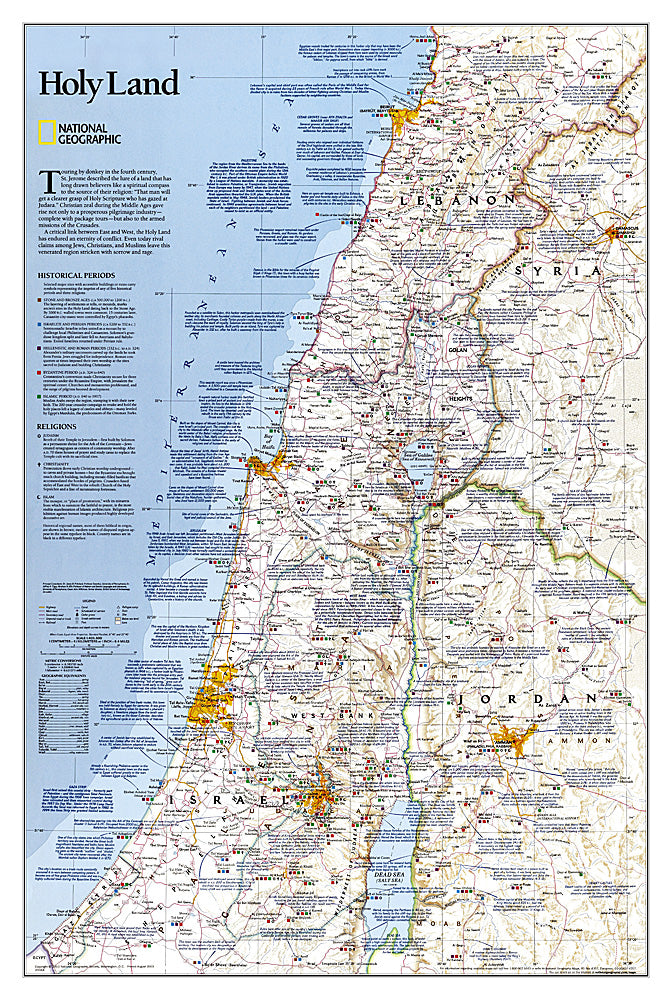
Explore the rich history and cultural depth of the Middle East with National Geographic’s Holy Lands Wall Map. Measuring 22.25" x 33", this detailed map brings the region to life, highlighting key cities, ancient ruins, and stunning geographical features across Israel, Jordan, Lebanon, and Syria.
Overlayed with insights into Judaism, Christianity, and Islam, it showcases the religious landmarks that have shaped centuries of faith and tradition. From the Stone and Bronze Ages to the Islamic period through 1917, historical context is woven seamlessly into the modern political landscape. Transportation networks, including highways, railroads, canals, and airports, are clearly marked, making it a practical reference as well as a visual treasure.
Perfect for classrooms, offices, or home study, this map combines educational value with aesthetic appeal. Dive into the Holy Lands and discover the complex interplay of geography, history, and culture that defines this pivotal region.


