1
/
of
1
National Geographic
Texas State Wall Map by National Geographic
Texas State Wall Map by National Geographic
Regular price
$19.99 USD
Regular price
Sale price
$19.99 USD
Unit price
/
per
Couldn't load pickup availability
Share
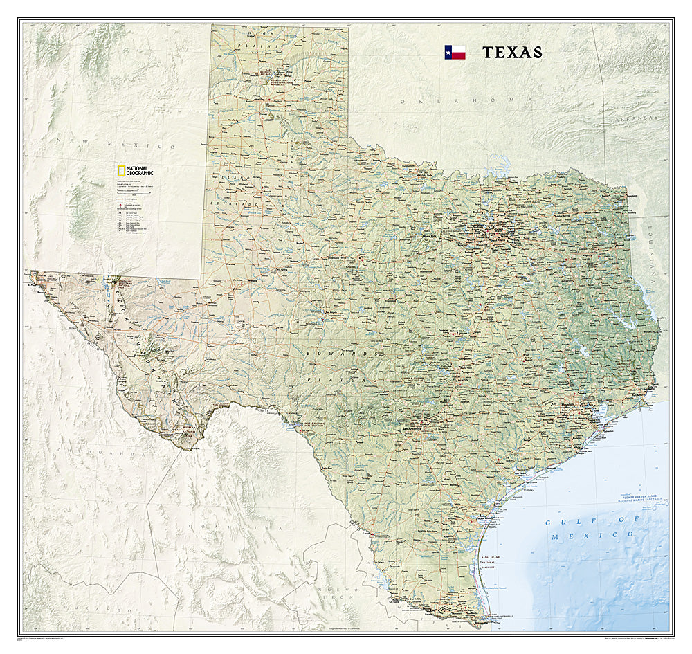
Bring the Lone Star State to life on your wall with National Geographic’s Texas State Wall Map. This richly detailed map showcases Texas in stunning clarity, highlighting its dramatic mountain ranges, rolling deserts, fertile valleys, and sweeping Gulf Coast shoreline. Shaded relief and vibrant colors make the state’s physical geography pop, from the Guadalupe Mountains to the piney woods of East Texas.
More than just a work of art, this map is packed with practical information, including the precise locations of cities, highways, railroads, airports, state and national parks, and even military bases. You’ll also find the Texas portion of the Intracoastal Waterway, stretching from Brownsville to the Louisiana border.
Perfect for classrooms, offices, or home décor, this 38"x41" wall map is available in paper or laminated for extra durability. Both beautiful and functional, it’s an inspiring way to explore and celebrate the vast landscapes of Texas.