National Geographic
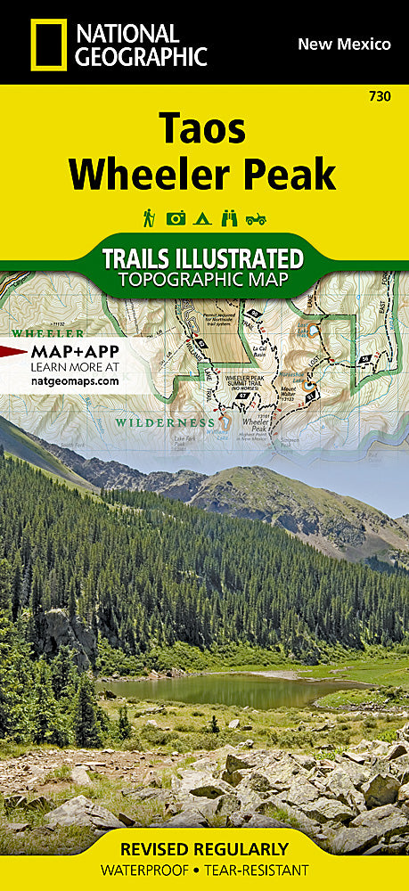
Taos & Wheeler Peak Trails Illustrated Topographic Map #730
Taos & Wheeler Peak Trails Illustrated Topographic Map #730
Couldn't load pickup availability
Share
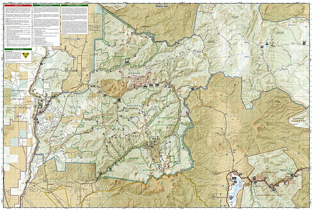
Ready to hit the high trails of northern New Mexico? The Taos & Wheeler Peak Trails Illustrated Topographic Map #730 by National Geographic is your essential guide to one of the Southwest’s most spectacular outdoor playgrounds. This waterproof, tear-resistant map covers Taos Ski Valley, Wheeler Peak—the state’s tallest mountain at 13,161 feet—and the scenic Rio Grande Gorge, where ancient volcanic landscapes meet breathtaking canyon views.
Perfect for hikers, backpackers, and explorers, it details trails, campgrounds, and recreation sites across Carson National Forest and the Sangre de Cristo Mountains. Explore the Enchanted Circle Scenic Byway, a historic route traveled by Native peoples and Spanish settlers, or plan a trek to Williams Lake, a glacial gem tucked beneath rugged peaks.
With clear topo lines, GPS-ready grids, and trusted National Geographic cartography, this map gives you confidence to roam further, climb higher, and truly experience the magic of Taos.