1
/
of
2
National Geographic
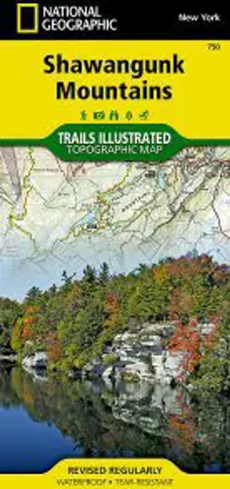
Shawangunk Mountains Map
Shawangunk Mountains Map
Regular price
$14.95 USD
Regular price
Sale price
$14.95 USD
Unit price
/
per
Couldn't load pickup availability
Share
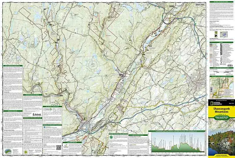
National Geographic Map #750 Shawangunk Mountains shows recreation information for this area of New York state west of Poughkeepsie. The map has a trail profile showing elevations and key points along the Shawangunk Ridge Trail. Also covers the Long Path, Minnewaska State Park, Sam's Point Preserve, High Point State Park, with an inset of Mohonk Preserve.
- 1" = .8 Miles / 1 cm = .5 kilometers
- Contour Interval 20 Feet
- Waterproof