

National Forest Service
Shasta-Trinity NF - Trinity Alps Wilderness Forest Service Map
Shasta-Trinity NF - Trinity Alps Wilderness Forest Service Map
Couldn't load pickup availability
Share
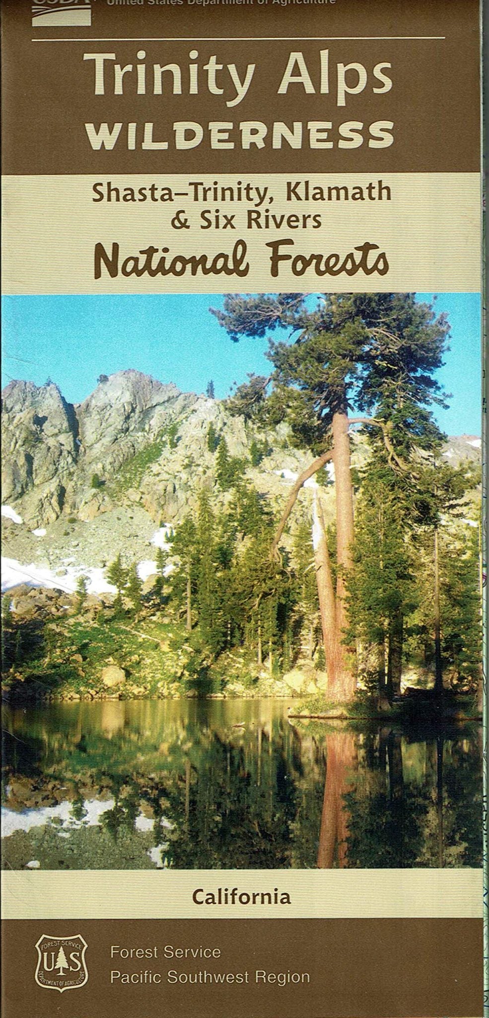
Discover the breathtaking beauty of Northern California’s Trinity Alps Wilderness with this official U.S. Forest Service Map—your ultimate guide to over 500,000 acres of rugged peaks, alpine lakes, and untamed forest. Nestled between Eureka and Redding, this remote wilderness boasts craggy granite ridges reaching up to 9,000 feet, glacier-carved cirques, and more than 600 miles of trails.
Popular destinations like Canyon Creek Lakes, Caribou Lake, and Emerald Lake reward adventurers with unforgettable vistas and pristine waters. Wildlife abounds—watch for black bears, bald eagles, and mule deer, while old-growth forests shelter Douglas fir, mountain hemlock, and vibrant wildflowers in summer.
Rich in Native American history and Gold Rush lore, the Trinity Alps invite hikers, backpackers, and nature lovers to explore California’s third-largest wilderness area. This waterproof, topographic map includes GPS grids, trailheads, and camp info—essential for planning your next wild escape!
- Waterproof Map
- Topographic Lines with 80 ft Contour Interval
- 1" to the Mile
