1
/
of
2
Cairn Cartographics
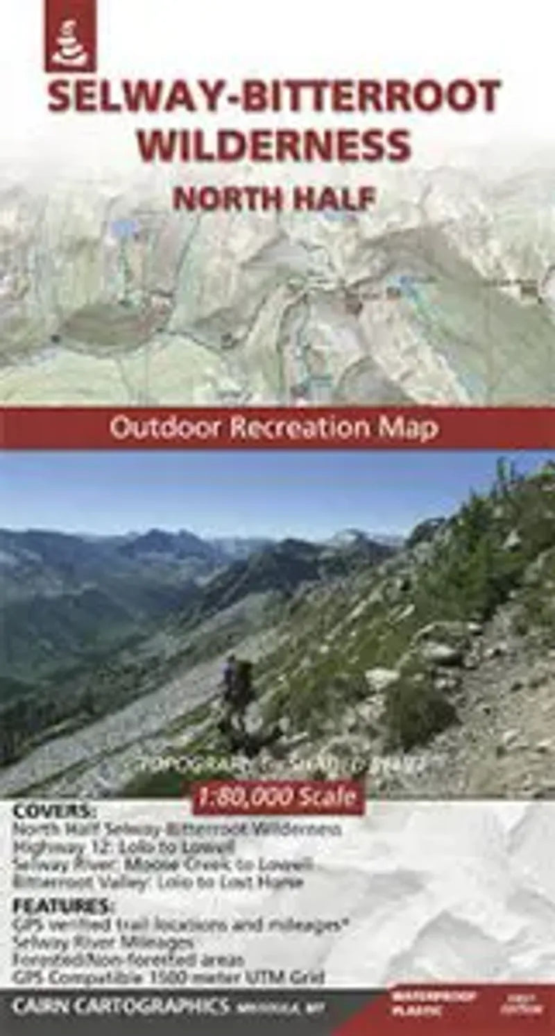
Selway - Bitterroot Wilderness (North) Map
Selway - Bitterroot Wilderness (North) Map
Regular price
$17.95 USD
Regular price
Sale price
$17.95 USD
Unit price
/
per
Couldn't load pickup availability
Share
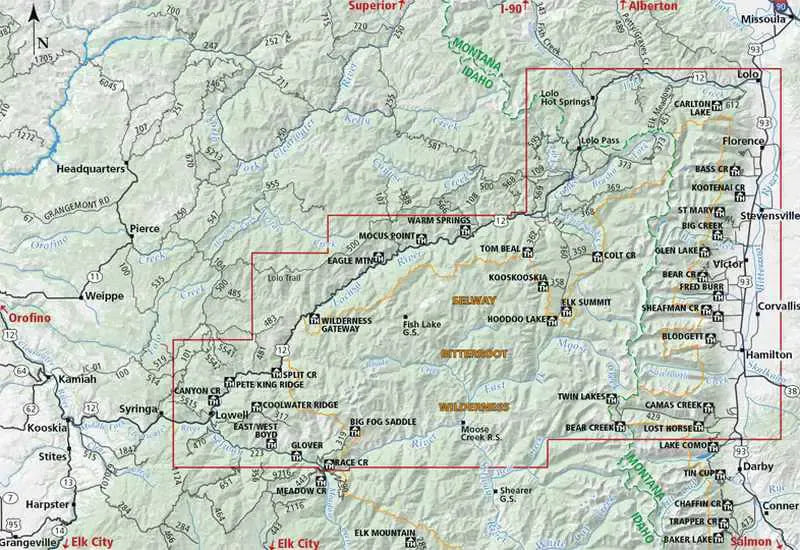
This Topographic Recreational map covers the North Half of the Selway - Bitterroot Wilderness as well as the area of Highway 12 from Lolo to Lowell, the Selway River from Moose Creek to Lowell, and the Bitterroot Valley from Lolo to Lost Horse.
Published by Cairn Cartographics, this map has topographic shaded-relief with a contour interval of 100 feet.
Details include roads - paved and dirt, primary and secondary Forest Service trails, trailheads, campgrounds, boat launches and fishing access.
Waterproof, Tearproof and includes Trailheads, Campgrounds and Mileage. It even has a GPS Ready UTM Grid!