International Travel Maps
Saskatchewan Travel & Reference Map by ITMB
Saskatchewan Travel & Reference Map by ITMB
Couldn't load pickup availability
Share
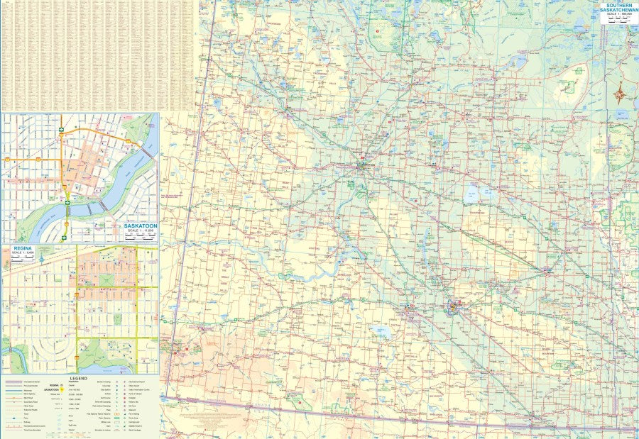
Saskatchewan is where wide-open prairie meets a wild northern wonderland—and this double-sided Saskatchewan Travel & Reference Map by ITMB puts the whole province at your fingertips. At a handy 1:900,000 scale, this 27" x 39" map covers everything from the agricultural heartland around Regina to the thousands of lakes and rivers scattered across the remote north.
Side 1 focuses on southern Saskatchewan, including the capital city of Regina and an inset of Saskatoon, while Side 2 heads north into a landscape packed with wilderness parks, campsites, lakes, rivers, and rugged backcountry. Discover geographic standouts such as Prince Albert National Park, Grasslands National Park, and the vast waters of Lake Athabasca.
Saskatchewan became a province in 1905, carved from the Northwest Territories alongside Alberta and modern Manitoba as waves of immigrants settled the Prairies. Its history also includes the dramatic Métis Resistance of 1885. Named for the Saskatchewan River, the province remains a dream destination for road trippers, campers, explorers, and geography fans.
The legend includes roads by classification, highways, main roads, rivers, lakes, national parks, airports, points of interest, and much more.
SKU: SKU:ITMSASK
View full details