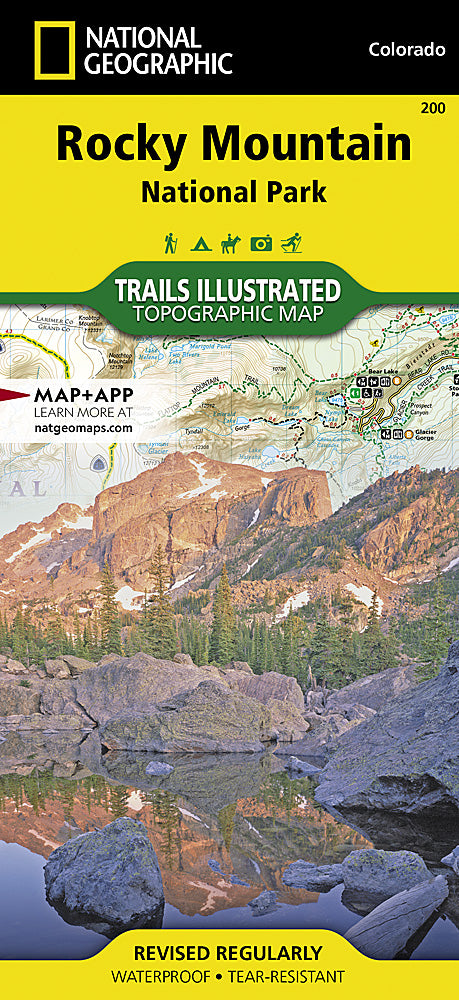
National Geographic
Rocky Mountain National Park Trails Illustrated Topographic Map #200
Rocky Mountain National Park Trails Illustrated Topographic Map #200
Couldn't load pickup availability
Share
Ready to hit new heights? The Rocky Mountain National Park Trails Illustrated Topographic Map #200 by National Geographic is your ultimate adventure wingman! Whether you’re chasing sunrise from Longs Peak, driving the epic Trail Ridge Road, or spotting elk in Moraine Park, this waterproof, tear-resistant map keeps you on track through every alpine twist and forested turn.
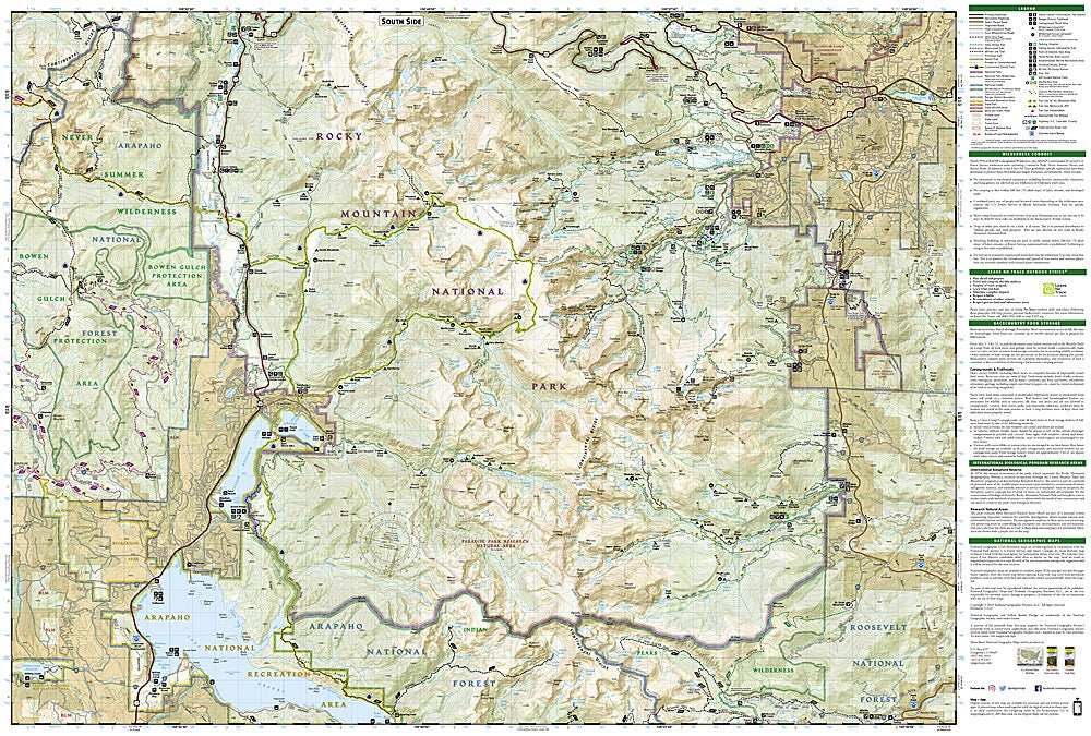
Covering Rocky Mountain National Park and surrounding wildlands—including Arapaho, Roosevelt, and Routt National Forests—this map highlights over 400 miles of trails for hiking, horseback riding, snowshoeing, and backcountry exploration. With contour lines, elevation data, and GPS-ready UTM grids, it’s as reliable as it is rugged.
Discover the high-altitude magic of Colorado’s crown jewel, from glacier-carved valleys to the Continental Divide. Whether you’re bagging peaks or cruising scenic drives, this map ensures your Rocky Mountain adventure unfolds flawlessly—no Wi-Fi required, just wanderlust.