National Geographic
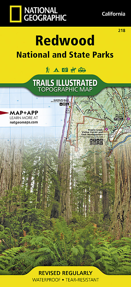
Redwood National & State Parks Trails Illustrated Topographic Map #218
Redwood National & State Parks Trails Illustrated Topographic Map #218
Couldn't load pickup availability
Share
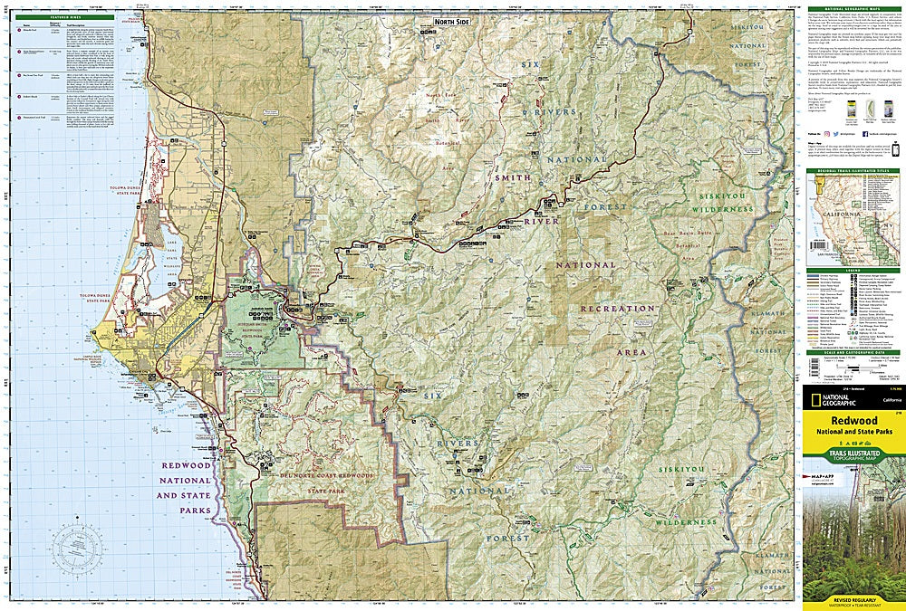
Walk among giants with National Geographic’s Redwood National & State Parks Trails Illustrated Map #218 — your ultimate guide to exploring California’s awe-inspiring coast redwood forests! Covering the world’s tallest trees and the dramatic landscapes of the North Coast, this waterproof, tear-resistant map leads you to unforgettable spots like the majestic Lady Bird Johnson Grove, the wild and scenic Klamath River, and the breathtaking Fern Canyon — where ferns drip from sandstone walls.
Discover a region rich in history, once home to Native Yurok communities and later a hub for early conservation efforts that helped save these ancient forests from logging. Whether you’re hiking beneath towering redwoods, kayaking along the Smith River, or road-tripping the Redwood Highway Scenic Byway, this map keeps you confidently on track.
Durable, detailed, and GPS-ready — it’s the must-have trail companion for every hiker, camper, and adventure-seeker.