Mitchell Geography
Puget Sound Regional Reference Wall Map
Puget Sound Regional Reference Wall Map
Couldn't load pickup availability
Share
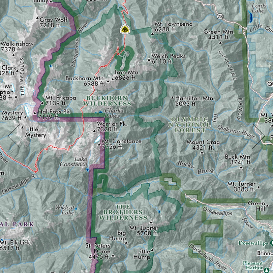
Chart the waterways, islands, and legendary coastlines of the Pacific Northwest with a wall map that turns geography into wall-worthy art. This Puget Sound Regional Reference Wall Map is packed with detail, adventure, and Pacific Northwest character that map lovers, travelers, and history buffs will instantly appreciate.
Printed on heavy fine paper in a striking 20" x 28" format, this regional overview captures the intricate inlets, harbors, bays, and channels that define Washington’s iconic Puget Sound. Explore ferry routes weaving between islands, trace the rugged edges of Olympic National Park, and spot towering summits rising above the shoreline. The map highlights populated places, military bases, wilderness areas, state parks, reservations, and major highways throughout the region.
Puget Sound itself was named during the 1792 Vancouver Expedition and remains one of North America’s most recognizable coastal environments. From the dramatic beauty of Olympic National Park to the famous ferry crossings near Seattle, this detailed reference map celebrates the geography, history, and spirit of the Pacific Northwest in stunning cartographic style.
SKU: SKU:PMG2X0063
View full details