National Forest Service
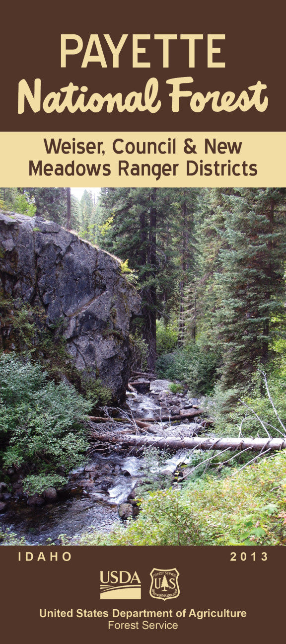
Payette NF - Weiser, Council & New Meadows Ranger Districts NFS Map
Payette NF - Weiser, Council & New Meadows Ranger Districts NFS Map
Couldn't load pickup availability
Share
Discover Idaho’s rugged backcountry with the Weiser, Council & New Meadows Ranger Districts Forest Service Map. Covering a vast portion of the Payette National Forest in west-central Idaho, this topographic map highlights over a million acres of wild terrain filled with scenic rivers, deep canyons, and alpine lakes.
Explore popular spots like Hells Canyon, Brundage Mountain Resort, and the historic town of Warren. Hike among towering Douglas firs and colorful wildflower meadows, or spot elk, black bears, and bald eagles thriving in the diverse ecosystems. Rich in Nez Perce tribal heritage and pioneer history, the region offers a blend of culture and wilderness.
Whether you’re planning a hike, camping trip, or hunting excursion, this waterproof, GPS-compatible Forest Service map is your essential guide to adventure in the heart of Idaho’s outdoor paradise. Get off the beaten path and experience the untamed beauty of the Weiser, Council & New Meadows Districts!
- Waterproof material
- 31" x 45" when unfolded