National Forest Service
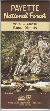
Payette National Forest - McCall & Krassel Ranger Districts NFS Map
Payette National Forest - McCall & Krassel Ranger Districts NFS Map
Couldn't load pickup availability
Share
Discover the breathtaking beauty of central Idaho with the Payette National Forest - McCall & Krassel Ranger Districts Forest Service Map. Spanning over 2.3 million acres, this rugged wilderness is home to alpine lakes, wild rivers, and dense conifer forests teeming with elk, black bears, and bald eagles.
Use this detailed topographic map to explore three of the area's top attractions: the scenic Payette Lake, the Loon Lake Loop Trail with its historic WWII bomber wreck, and the wild and remote South Fork Salmon River. Located northeast of Boise, near the charming town of McCall, the forest boasts rich Nez Perce tribal history and offers endless hiking, biking, and camping opportunities.
From towering Ponderosa pines to vibrant wildflower meadows, the Payette is an outdoor enthusiast’s dream. Plan your next adventure today with this essential navigation tool!
- Waterproof Map
- Topography with Contour Interval of 50 Feet