National Forest Service
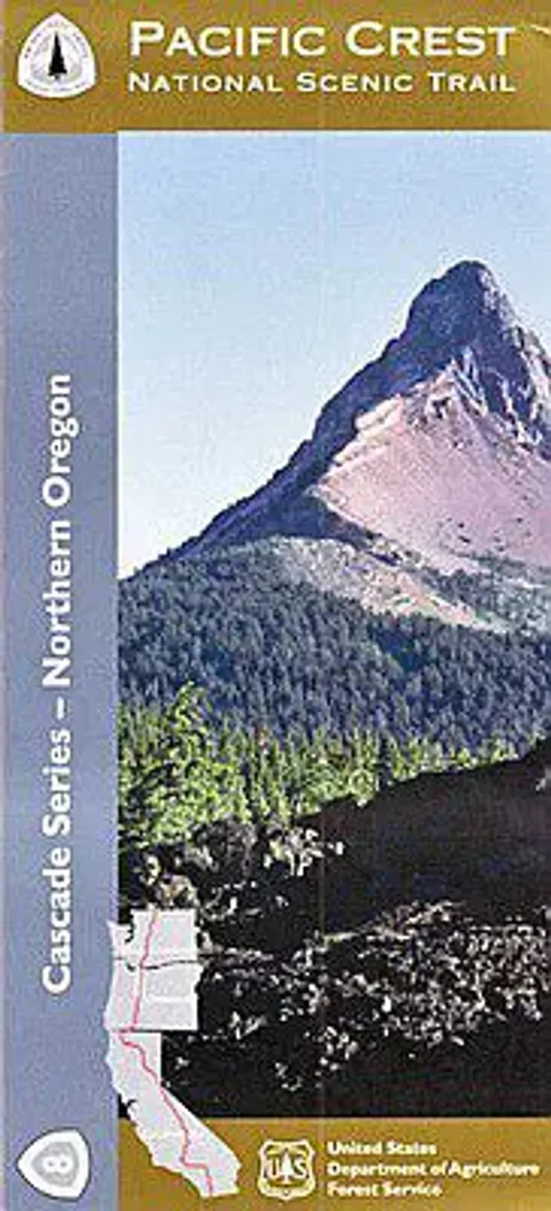
Pacific Crest Trail Oregon Map - Section 8: Northern Oregon
Pacific Crest Trail Oregon Map - Section 8: Northern Oregon
Couldn't load pickup availability
Share
Discover the wild heart of Northern Oregon with the Pacific Crest National Scenic Trail – Forest Service Map 8 of 10. This topographic, waterproof map zeroes in on the PCT corridor, offering precise coverage of the trail plus 2 miles on either side. Explore iconic spots like Mount Hood, Timberline Lodge, and the dramatic Columbia River Gorge. You'll find detailed section breakdowns, elevation profiles, and contour lines at a scale of 1" = 1 mile—perfect for hikers seeking adventure and clarity.
Journey through old-growth Douglas fir forests, meadows bursting with lupine and beargrass, and habitats of black-tailed deer and osprey. The trail traces paths once used by Indigenous peoples and early explorers. Located between central Oregon and the Washington border, this map helps you experience one of the most scenic and ecologically rich stretches of the Pacific Crest Trail with confidence and awe. Plan your trek and embrace the wild!
Articles