National Forest Service
Pacific Crest Trail California Map - Section 1: Southern California
Pacific Crest Trail California Map - Section 1: Southern California
Couldn't load pickup availability
Share
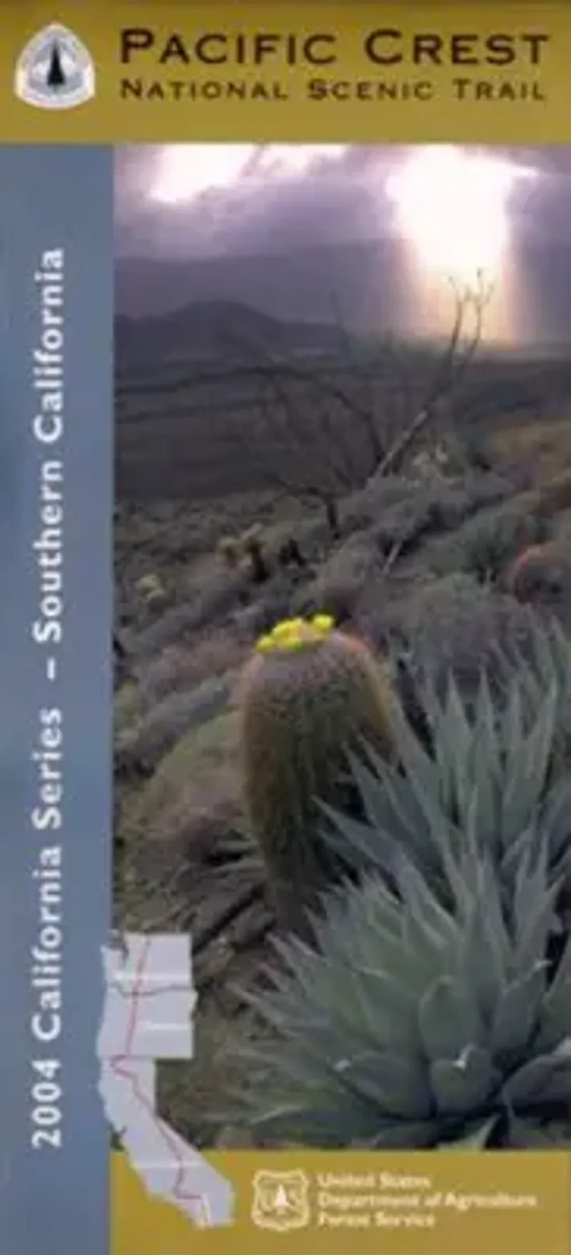
Discover the wild beauty of Southern California with the Pacific Crest National Scenic Trail Forest Service Map—Map 1 of 10 in the official series. Covering the sun-drenched landscapes from Campo near the Mexican border to the San Bernardino Mountains, this topographic, waterproof map guides you through iconic locations like Mount Laguna, Anza-Borrego Desert State Park, and the San Jacinto Wilderness.
Hike among ancient chaparral, fragrant pines, and seasonal wildflowers while spotting wildlife like bighorn sheep, red-tailed hawks, and elusive bobcats. The trail, established in 1968, follows historic Native American paths and early settler routes. Whether you're trekking a short stretch or planning a thru-hike, this map offers reliable UTM grids, lat/long coordinates, and essential trail details.
Ideal for hikers, horseback riders, and nature lovers, it’s your key to experiencing the dramatic terrain of Southern California’s portion of the legendary 2,650-mile Pacific Crest Trail. Adventure starts here!