National Geographic
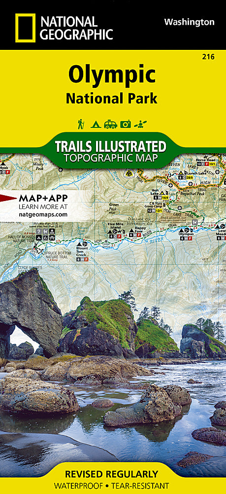
Olympic National Park Trails Illustrated Topographic Map #216
Olympic National Park Trails Illustrated Topographic Map #216
Couldn't load pickup availability
Share
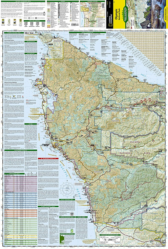
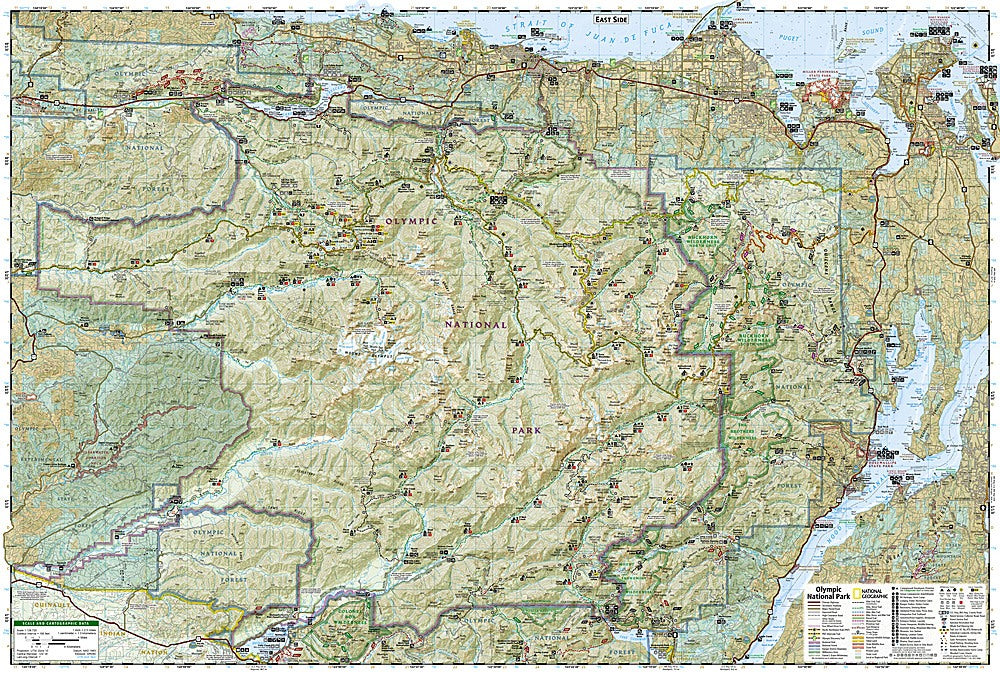
Get ready to explore one of America’s most diverse wilderness wonderlands with the Olympic National Park Trails Illustrated Topographic Map #216 by National Geographic! From misty rainforests to glacier-capped peaks to wild Pacific coastline—this map is your all-access pass to adventure.
Discover legendary spots like Hurricane Ridge’s panoramic alpine views, the turquoise depths of Lake Crescent, and the coastal magic of Ozette Lake, where sea stacks and tide pools await curious explorers. Covering nearly one million acres, Olympic National Park is home to four unique ecosystems—ancient temperate rainforests, rugged mountains, pristine rivers, and dramatic shorelines—each captured in vivid topographic detail.
Expertly researched and designed with input from local rangers, this waterproof, tear-resistant map includes miles of hiking trails (including part of the Pacific Northwest Trail), road networks, ranger stations, waterfalls, and wilderness campsites. It’s GPS-ready with full UTM grids for precision navigation, whether you’re trekking toward Mount Olympus or camping deep in the Hoh Rain Forest.
Steeped in history and natural splendor, Olympic became a national park in 1938 to preserve its wild beauty—now you can explore it all, confidently and completely, with this trusted National Geographic map in hand.
Happy hiking!