1
/
of
1
National Forest Service
Olympic National Forest & National Park Map
Olympic National Forest & National Park Map
Regular price
$19.95 USD
Regular price
Sale price
$19.95 USD
Unit price
/
per
Couldn't load pickup availability
Share
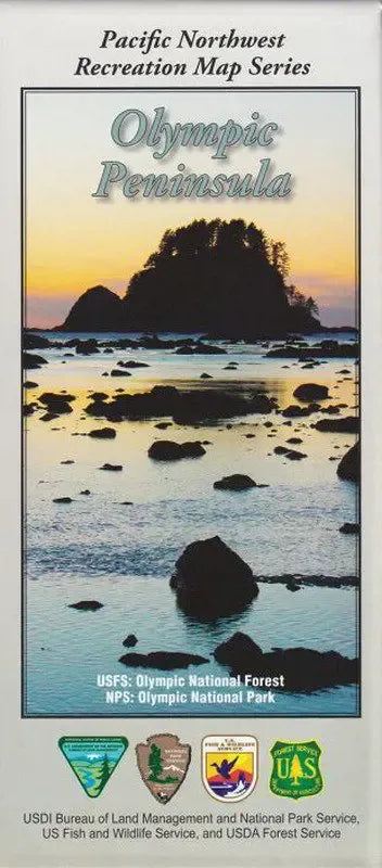
The Olympic National Forest and National Park lies in the Olympic Peninsula, which is the most northwest land body in the United States outside of Alaska. There are over two million acres of public lands in this area. The rugged Olympic Mountains rise from sea level to 7,965 feet in the center of the Peninsula.
This double sided map shows major access routes from Seattle & Puget Sound, trailheads, forest service roads, rivers, lakes, rainforests, elevations and shaded relief.
Printed on waterproof material, which is great for being in the rainforest. A useful map for much of the recreation on the Olympic Peninsula!