1
/
of
1
National Forest Service
Okanogan Country National Forest Map
Okanogan Country National Forest Map
Regular price
$19.95 USD
Regular price
Sale price
$19.95 USD
Unit price
/
per
Couldn't load pickup availability
Share
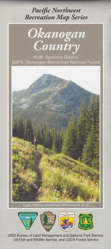
The Okanogan National Forest map covers from the Canadian border south to the south point of Lake Chelan, and from the North Cascades National Park on the west to the east to include sections of the forest that are in the eastern part of the Okanogan Valley.
The map includes detailed insets of Harts Pass, Five Lakes, Washington Pass, Twisp River and Conconcully. The map also lists suggested scenic drives, safety tips, and regulations about parking, hiking and camping. The forest has two distinct sides, east and west, referred to as the Okanogan (o-ka-na'-gun) and Methow (met'-how) valleys. Each area is a unique experience in itself and together they offer days and days of things to see and do.
The map includes detailed insets of Harts Pass, Five Lakes, Washington Pass, Twisp River and Conconcully. The map also lists suggested scenic drives, safety tips, and regulations about parking, hiking and camping. The forest has two distinct sides, east and west, referred to as the Okanogan (o-ka-na'-gun) and Methow (met'-how) valleys. Each area is a unique experience in itself and together they offer days and days of things to see and do.