

USGS
North Cascades Geologic Wall Map by USGS
North Cascades Geologic Wall Map by USGS
Couldn't load pickup availability
Share
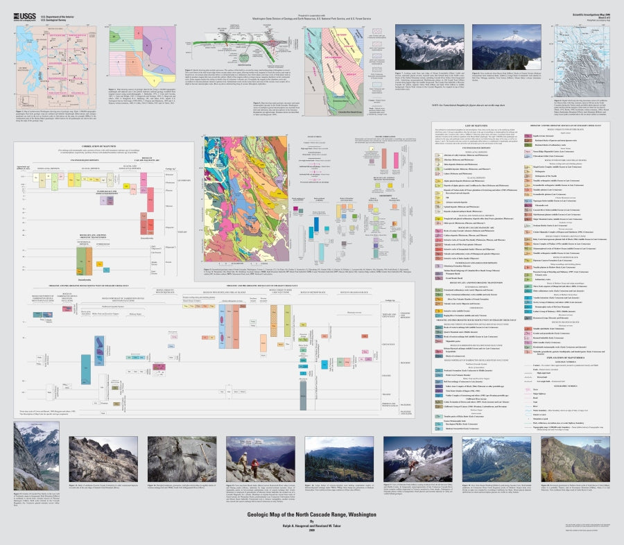
Discover the dramatic geological forces that shaped the North Cascades! This USGS North Cascades Geologic Wall Map takes you deep into the ancient rock formations, mountain-building events, and glacial history behind one of America's most spectacular mountain ranges.
At a detailed 1:200,000 scale, this impressive geological map covers approximately 150 miles of the North Cascades in Washington, revealing a fascinating landscape of plutonic and metamorphic rocks, powerful tectonic forces, and extraordinary geological diversity. Unlike the volcanic peaks farther south, the North Cascades showcase ancient rock formations, dramatic uplift, rugged relief, and evidence of extensive glacial carving. Explore the geological story beneath North Cascades National Park, Mount Baker, Glacier Peak, Ross Lake, and surrounding wilderness areas.
Compiled from eight detailed geological quadrangle maps, this USGS reference map offers an incredible look at millions of years of Earth's history. Perfect for geology enthusiasts, educators, researchers, hikers, and Pacific Northwest map collectors, it's a fascinating addition to any map collection or study space.
Note: This map consists of 2 Sheets: Sheet 1 (the map itself) is 35.5 x 52.5 inches, Sheet 2 - (the index/key) is 45.5 x 40 inches.
SKU: SKU:USG242360
View full details