National Forest Service
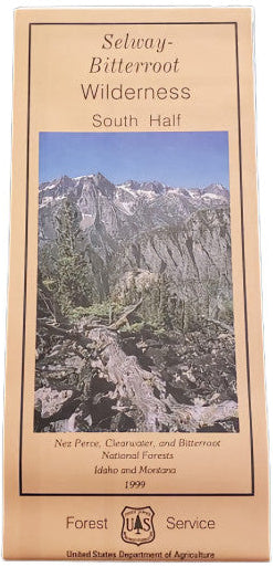
Nez Perce NF - Selway Bitterroot Wilderness, South Forest Service Map
Nez Perce NF - Selway Bitterroot Wilderness, South Forest Service Map
Couldn't load pickup availability
Share
Discover the untamed beauty of Idaho’s Selway-Bitterroot Wilderness (South Half) Forest Service Map—your essential guide to one of America’s largest wilderness areas at over 1.3 million acres. Located along the Montana-Idaho border, this map covers highlights like Moose Creek, Wahoo Peak, and the Selway River—a National Wild and Scenic River famed for its whitewater and fishing.
Trek among towering Douglas fir, western red cedar, and vibrant alpine wildflowers while spotting elk, mountain goats, black bears, and even elusive wolves. Originally designated in 1964, the area offers remote backcountry experiences steeped in Nez Perce history and natural wonder. This detailed topographic map features 100-foot contour lines, trail and campsite locations, fire lookouts, road access, water recreation zones, and even cross-country ski information.
Plan your next wilderness escape and experience the magic of the Northern Rockies with the Selway-Bitterroot South Half Map in hand.