International Travel Maps
Newfoundland & Labrador Travel Map
Newfoundland & Labrador Travel Map
Couldn't load pickup availability
Share
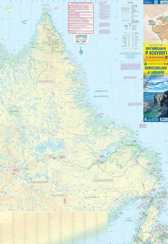
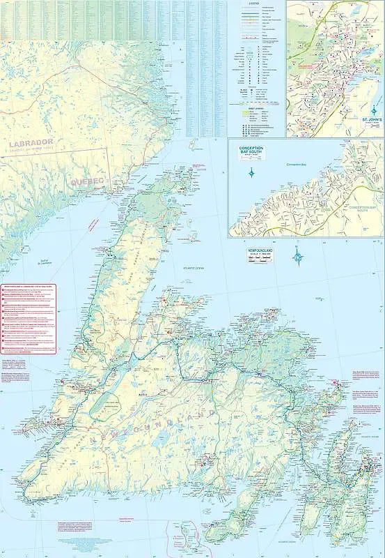
Discover the easternmost province of Canada with the ITMB Newfoundland & Labrador Travel Map, offering a detailed view of this historically rich region at scales of 1:800,000 and 1:1,300,000. Explore Newfoundland, the oldest British colony and once a thriving Norse settlement, featuring key attractions such as Gros Morne National Park, a UNESCO World Heritage site with stunning fjords and towering cliffs. Navigate the island's roadways, accessible only air or sea, including ferry routes from Nova Scotia and Quebec, and discover the vibrant city of St. John’s, the provincial capital. An inset map provides an enhanced view of St. John’s, renowned for its colorful row houses and Signal Hill, the site of the first transatlantic wireless communication.