

DeLorme
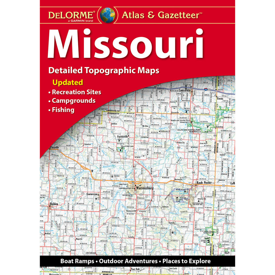
Missouri Topographic Atlas & Gazetteer by DeLorme
Missouri Topographic Atlas & Gazetteer by DeLorme
Couldn't load pickup availability
Share
Find hidden trails, scenic backroads, and unforgettable outdoor escapes with the DeLorme Missouri Topographic Atlas & Gazetteer! Your next Show-Me State adventure starts right here.
Forget squinting at your phone or wrestling with bulky folded maps! This convenient, book-bound atlas puts 58 pages of detailed, full-color topographic maps right at your fingertips. Flip between map pages, trace backroads, and plan your next hike without worrying about cell service or losing your place. From scenic drives and historic towns to hidden trailheads, boat ramps, and prime fishing holes, it’s your go-to guide for exploring Missouri beyond the pavement.
Discover the spectacular bluffs and trails of Ha Ha Tonka State Park, paddle the crystal-clear waters of the Ozarks at Lake of the Ozarks State Park, or explore the forested trails of Mark Twain National Forest.
An extensive index, GPS-friendly latitude/longitude grid, and handy insets for major cities and state lands make navigation a breeze.
72 pages | 8th Edition | 15.5" x 11"
SKU: SKU:DELMO
View full details