

DeLorme
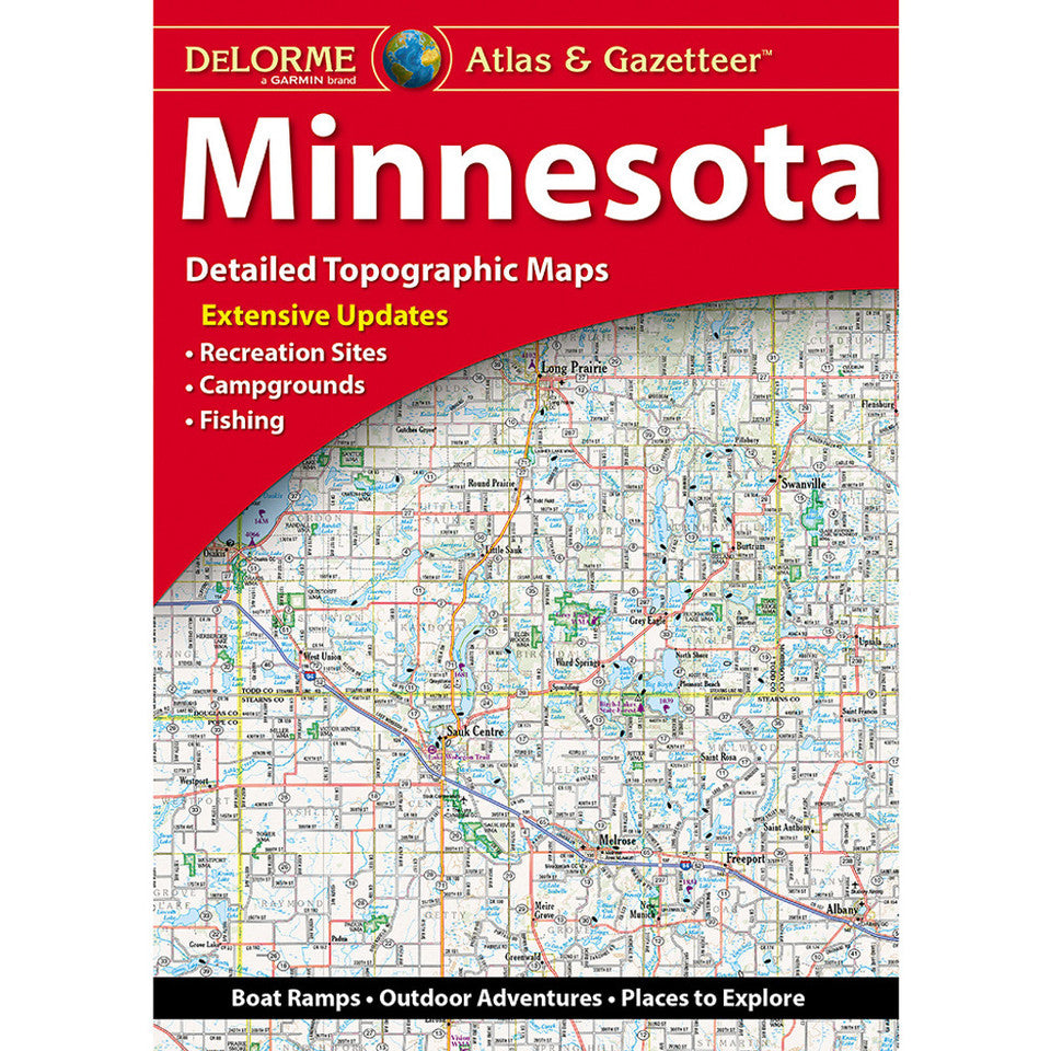
Minnesota Topographic Atlas & Gazetteer by DeLorme
Minnesota Topographic Atlas & Gazetteer by DeLorme
Couldn't load pickup availability
Share
Ready to roam the North Star State? Take the scenic route, find hidden fishing holes, and explore Minnesota’s wild side with the DeLorme Minnesota Topographic Atlas & Gazetteer!
Forget squinting at your phone or wrestling with oversized folded maps. This handy atlas keeps 49 pages of detailed, full-color topographic maps at your fingertips, making it easy to plan outdoor adventures, navigate backroads, and discover destinations beyond the beaten path. Whether you’re hiking wooded trails, scouting campsites, or chasing the perfect fishing spot, you’ll have a dependable reference ready when cell service disappears.
Explore the spectacular North Shore of Lake Superior, venture into the Boundary Waters region, or head for Itasca State Park, home to the headwaters of the Mississippi River. With the Boundary Waters Canoe Area Wilderness and the Superior National Forest among Minnesota’s most beloved outdoor destinations, there’s no shortage of places to explore in the Land of 10,000 Lakes.
Extensive indexing, latitude/longitude grids for GPS navigation, major-city insets, and detailed state-land coverage make this atlas a must-have for hikers, campers, anglers, and road-trippers. Color-coded state forests, wildlife management areas, and waterfowl production areas help you find your next adventure. Pack the atlas and let Minnesota’s great outdoors surprise you!
SKU: SKU:DELMN
View full details