Adventure Maps
Methow Valley, Washington Hiking & Biking Trail Map
Methow Valley, Washington Hiking & Biking Trail Map
Couldn't load pickup availability
Share
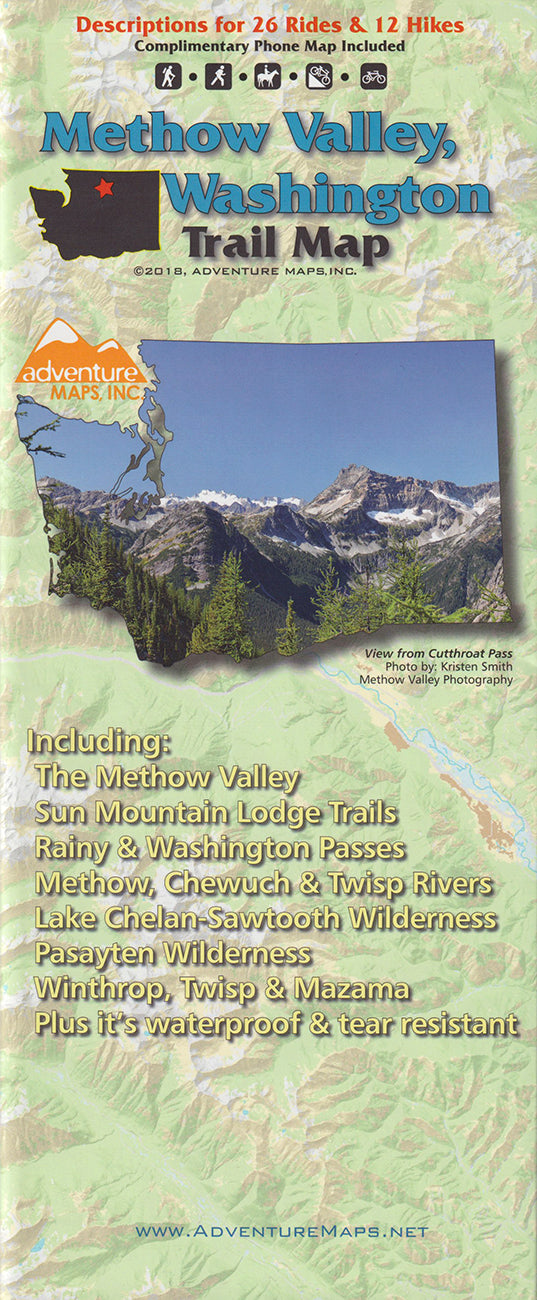
Discover adventure in Washington’s stunning Methow Valley with the Methow Valley Hiking & Biking Trail Map. Nestled on the east slope of the North Cascades, near the charming towns of Winthrop, Twisp, and Mazama, this region boasts a rich history of Native American culture and pioneer settlement.
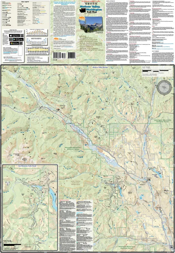
The waterproof, topographic map (lat/long, UTM grids) guides you through breathtaking terrain, from the alpine heights of the Lake Chelan-Sawtooth and Pasayten Wilderness areas to rolling sagebrush hills and crystal-clear rivers. Featuring 12 mountain bike rides, 7 gravel/dirt bike routes, 7 road rides, and 12 hiking trails, the map is your key to exploring scenic backcountry and public lands.
Anglers, hunters, and OHV riders will also appreciate its detailed streams, lakes, roads, and land boundaries. With helpful insets of Methow Valley and Sun Mountain Trails, this map is a must-have for outdoor enthusiasts!