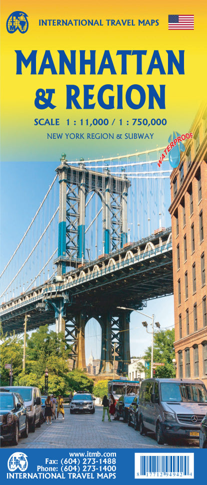
International Travel Maps
Manhattan & New York Region Travel Map by ITMB
Manhattan & New York Region Travel Map by ITMB
Couldn't load pickup availability
Share
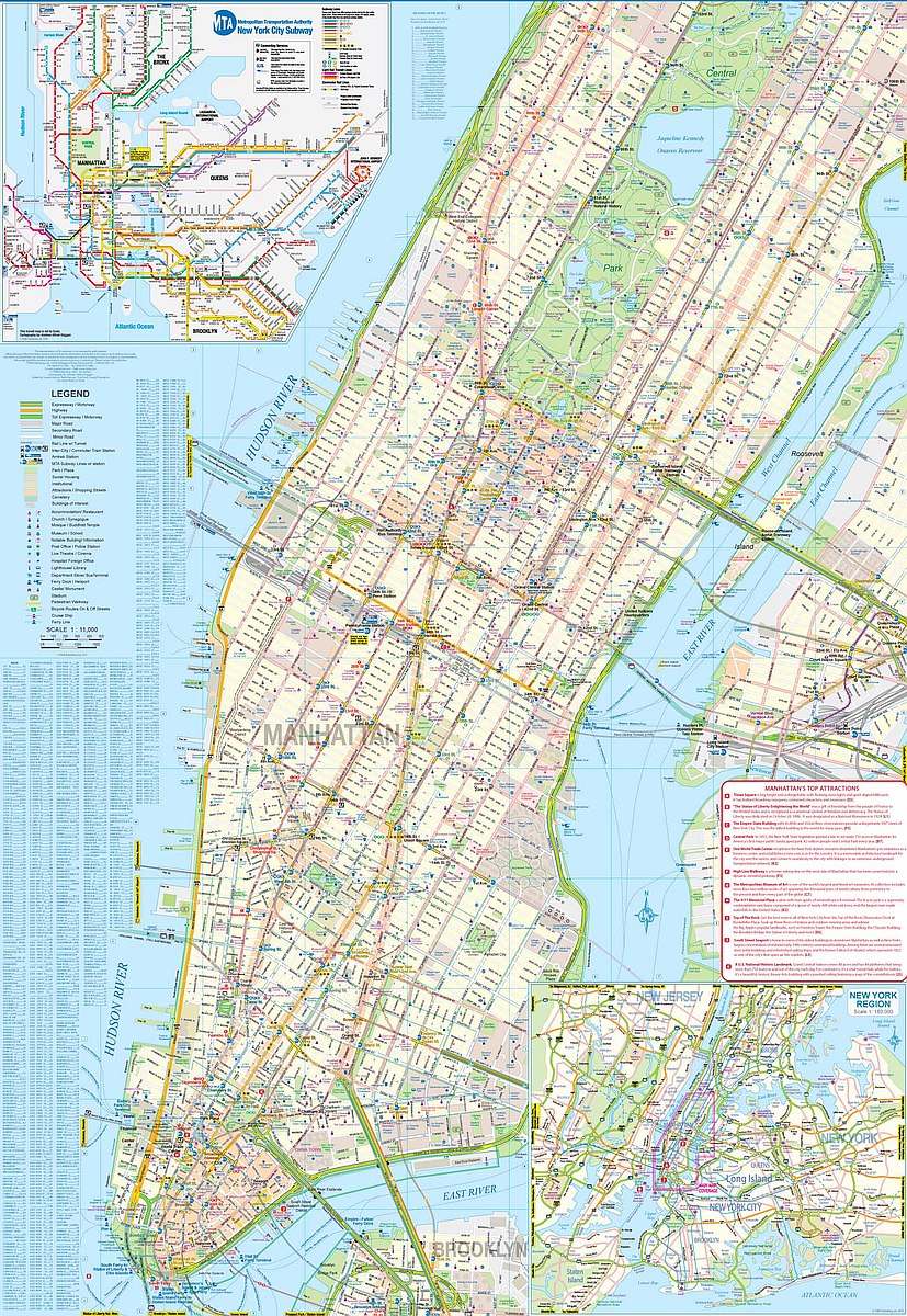
Explore the energy of America’s biggest city and the charm of its surrounding region with ITMB’s double-sided Manhattan & New York Region Travel & Reference Map. On one side, dive into Manhattan—from the Statue of Liberty in the harbor to the northern edge of Central Park. Spot 33 Broadway theatres around Times Square, major landmarks like the UN complex and Wall Street, and trace every subway line exactly as it runs below ground. Dozens of hotels, churches, museums, and transit hubs are clearly marked, along with a Top Attractions List to help plan your adventures. The detailed subway map spans from JFK to Newark, making city navigation a breeze.
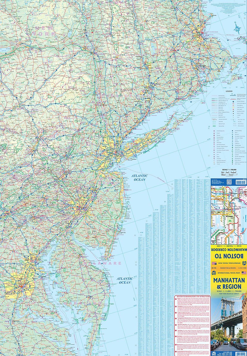
Flip the map for a regional view stretching from Boston to Washington, D.C., with highways, rail lines, and airports crisscrossing the Northeast Corridor. Whether you're strolling through Chinatown or ferrying to Staten Island, this 27" x 39" map is your ultimate travel companion.