

DeLorme
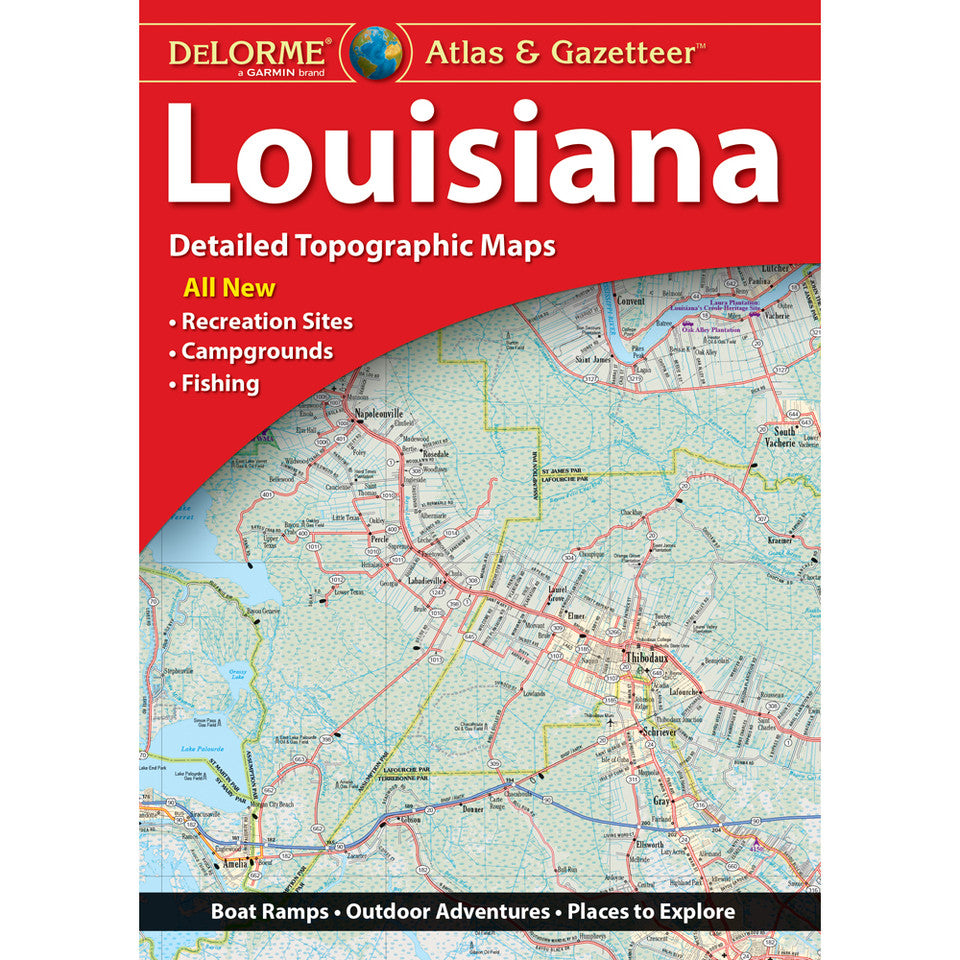
Louisiana Topographic Atlas & Gazetteer by DeLorme
Louisiana Topographic Atlas & Gazetteer by DeLorme
Couldn't load pickup availability
Share
Trade the scrolling and signal hunting for a real-world adventure! The DeLorme Louisiana Topographic Atlas & Gazetteer is your ticket to exploring the Bayou State’s wild side, from winding waterways to hidden trails and backroad treasures.
Why settle for a tiny phone screen or a cumbersome folded map? This handy, book-bound atlas keeps detailed, full-color topographic maps right at your fingertips, ready to flip through, compare, and consult wherever your Louisiana adventure leads. Across 49 map pages, discover cities, historic sites, scenic drives, recreation areas, trailheads, boat ramps, and promising fishing spots.
Explore the natural beauty of Lake Charles and the surrounding waterways, or venture toward the Atchafalaya Basin, a spectacular maze of bayous, wetlands, and wildlife-rich landscapes. Head for hiking paths, quiet fishing holes, and scenic corners that online maps can easily overlook.
An extensive index makes finding places a breeze, while latitude/longitude grids help you navigate with GPS. Inset maps of major cities and state lands add even more detail for planning your next outing.
Whether you’re hiking, paddling, camping, or chasing the perfect fishing spot, this DeLorme atlas is a trusty companion for exploring Louisiana beyond the beaten path.
SKU: SKU:DELLA
View full details