National Forest Service
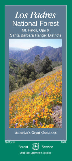
Los Padres NF - Mt Pinos, Ojai & Santa Barbara Ranger Districts Map
Los Padres NF - Mt Pinos, Ojai & Santa Barbara Ranger Districts Map
Couldn't load pickup availability
Share
Discover the stunning landscapes of Southern California with the Mt. Pinos, Ojai & Santa Barbara Ranger Districts Forest Service Map. Nestled in the Los Padres National Forest, this expansive 1.75-million-acre wilderness offers unforgettable adventures.
Explore the panoramic views from Mt. Pinos (8,848 ft), relax at the iconic Rose Valley Falls, or stroll through the serene trails of Santa Ynez Mountains. Rich in history, this region was once home to the Chumash people and features diverse ecosystems—from fragrant chaparral to towering oaks and pines. Wildlife sightings might include black bears, mule deer, and soaring condors.
Located just north of Los Angeles, this map is your perfect guide to hiking, camping, and wildlife exploration. Whether you're a weekend traveler or seasoned outdoor enthusiast, plan your next adventure and experience the natural beauty of the Los Padres National Forest!
- Waterproof Map
- Shaded Relief style
- 1/2" to the Mile