National Forest Service
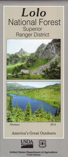
Lolo National Forest - Superior Ranger District Forest Service Map
Lolo National Forest - Superior Ranger District Forest Service Map
Couldn't load pickup availability
Share
Discover the vast beauty of Montana’s Superior Ranger District with the official U.S. Forest Service Map. Nestled within the Lolo National Forest, this scenic district spans over 1.2 million acres of rugged mountains, dense forests, and sparkling rivers.
Explore top attractions like the historic Milwaukee Railroad Tunnels, the sweeping Clark Fork River Valley, and the wild St. Regis-Paradise Scenic Byway. Rich with towering ponderosa pines, western larch, and vibrant wildflowers, the area also shelters elk, black bears, and bald eagles. Originally established in 1906, the Lolo National Forest boasts a legacy of conservation and recreation.
Located in western Montana near the Idaho border, Superior Ranger District invites adventure-seekers year-round. Plan your visit with this detailed map and uncover endless hiking, fishing, and camping opportunities amid breathtaking natural beauty.