NOAA
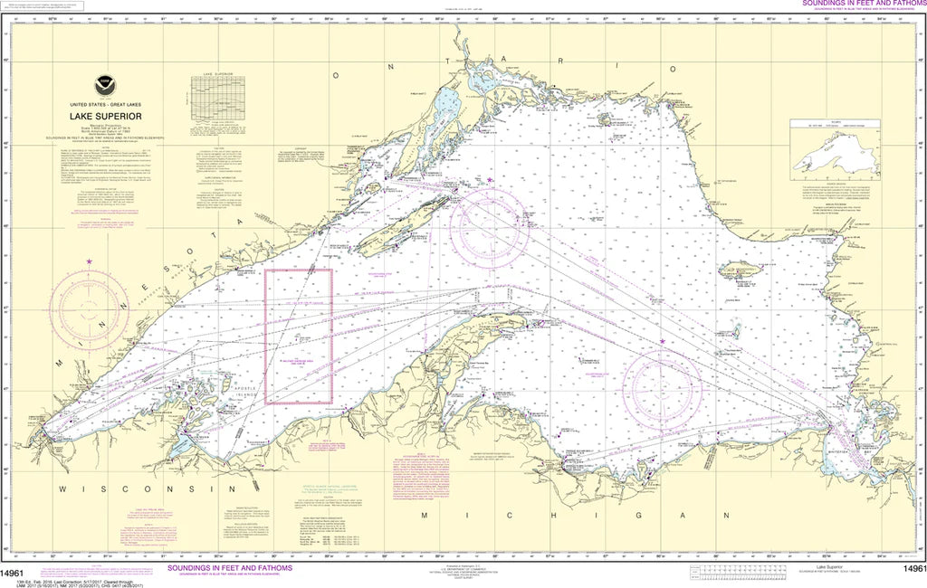
Lake Superior Nautical Chart #14961
Lake Superior Nautical Chart #14961
Couldn't load pickup availability
Share
Set your course for adventure with the Lake Superior Nautical Chart #14961, a legendary chart that captures the grandeur of the largest freshwater lake on Earth! Whether you're a history buff, Great Lakes enthusiast, or nautical décor collector, this impressive chart is ready to make waves.
Covering all of magnificent Lake Superior at a scale of 1:600,000, this 43" x 27" nautical chart spans iconic destinations including Duluth, Thunder Bay, Isle Royale, the Apostle Islands, Whitefish Bay, and the rugged north shore. It showcases countless bays, harbors, islands, navigation aids, and shoreline features that have guided mariners for generations. Lake Superior played a pivotal role in North America's fur trade and later became one of the busiest shipping routes for iron ore and grain, helping fuel the industrial growth of the Great Lakes region. Rich in maritime history and natural beauty, this chart makes an outstanding display piece for any home, office, cabin, or lakeside retreat.
(View more detail in nautical chart viewer)
Please note: For decorative and reference purposes only, NOAA has officially sunset traditional paper nautical charts. These legacy charts are no longer updated or approved for primary navigation.
SKU: SKU:NOS14961
View full details