NOAA
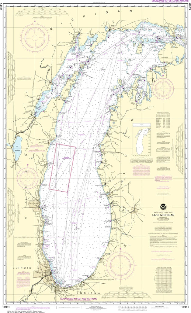
Lake Michigan Nautical Chart #14901
Lake Michigan Nautical Chart #14901
Couldn't load pickup availability
Share
Set your course for one of North America's greatest freshwater seas with Nautical Chart 14901 - Lake Michigan! Whether you're a sailor, Great Lakes enthusiast, history buff, or collector, this classic NOAA chart is a striking blend of maritime heritage and timeless coastal detail.
Covering the entire length of Lake Michigan, this chart features the waters bordering Wisconsin, Illinois, Indiana, and Michigan, including popular destinations like Green Bay, Milwaukee, Chicago, Muskegon, and the busy shipping lanes connecting countless harbors and ports. Measuring 29" x 47" at a 1:500,000 scale, it provides an impressive overview that's perfect for framing, planning adventures, or adding nautical character to your home, office, or cabin.
Lake Michigan has played a vital role in North American commerce since the 1800s, serving as a key transportation corridor that helped fuel the growth of Chicago into one of the world's great cities.
(View more detail in nautical chart viewer)
Please note: For decorative and reference purposes only, NOAA has officially sunset traditional paper nautical charts. These legacy charts are no longer updated or approved for primary navigation.
SKU: SKU:NOS14901
View full details