

1
/
of
2
Tom Harrison Maps
Joshua Tree National Park Hiking Map by Tom Harrison
Joshua Tree National Park Hiking Map by Tom Harrison
Regular price
$10.95 USD
Regular price
Sale price
$10.95 USD
Unit price
/
per
Couldn't load pickup availability
Share
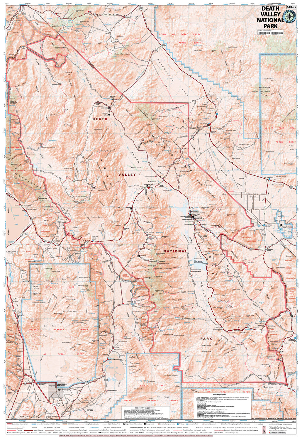
The Joshua Tree National Park Map shows complete coverage of this vast desert park. Covering 795,150 acres, it offers an incredible network of hiking trails and camping, allowing access to the best of the Mojave Desert.
Main access is from Interstate Hwy 10 or CA State Hwy 62, including Black Rock Canyon, West Entrance, North Entrance and South Entrance. The Joshua Tree National Park Association offers a comprehensive website.
The map shows trail mileage and elevation points, along with campgrounds, wilderness boundaries, ranger stations, access roads, horse camps, interpretive sites and more.
Scale 1:126,720
200 ft contours
SKU: SKU:HARJOSHUATREE
View full details